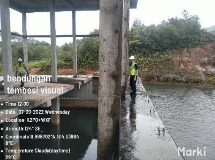
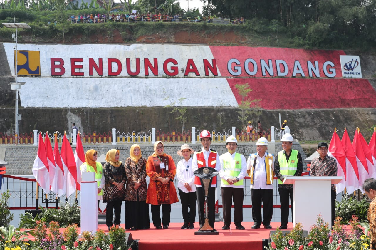
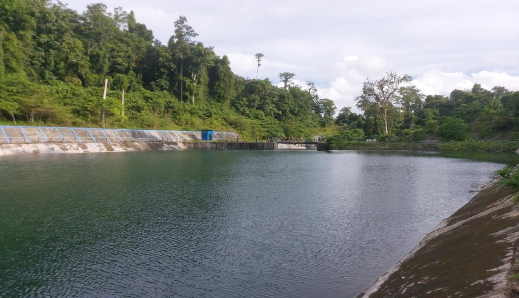
The Supervision of the Raw Water Supply Infrastructure Construction for Lolak Dam ensures the efficient development and quality control of water intake and distribution systems. Located in Bolaang Mongondow Regency, North Sulawesi, this project aims to enhance water availability for domestic, agricultural, and industrial needs while supporting regional economic growth and environmental sustainability.
The supervision scope includes:
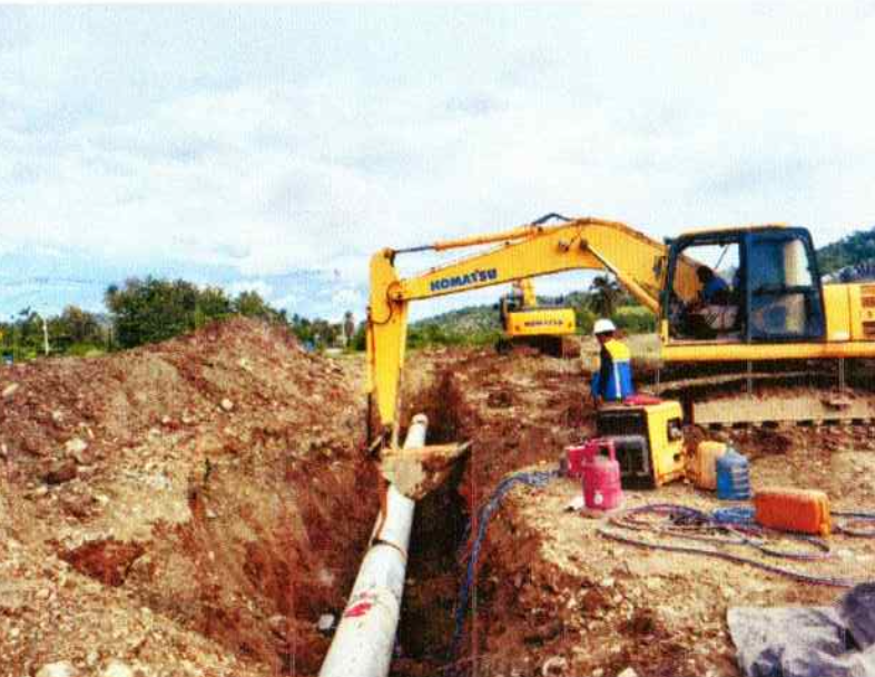
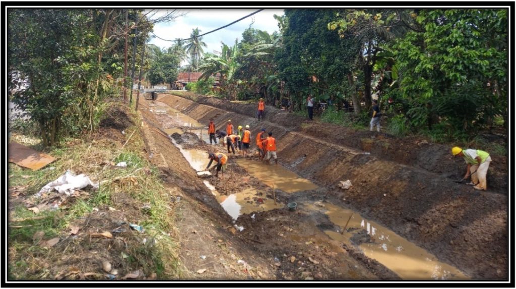
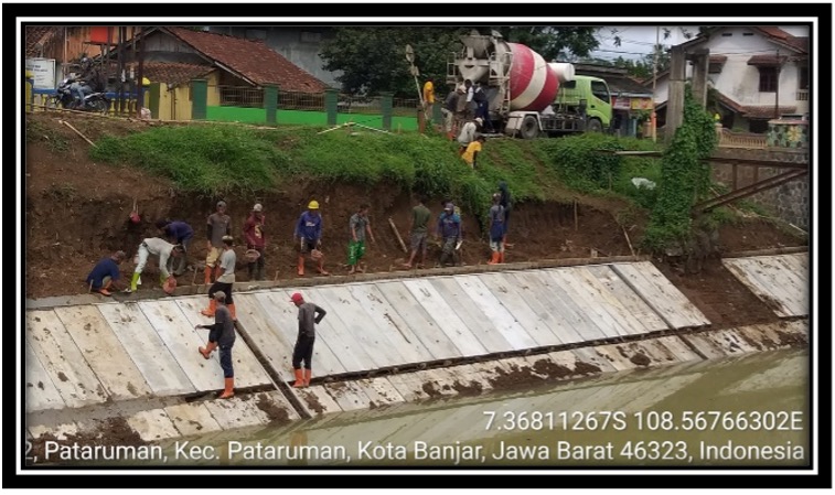
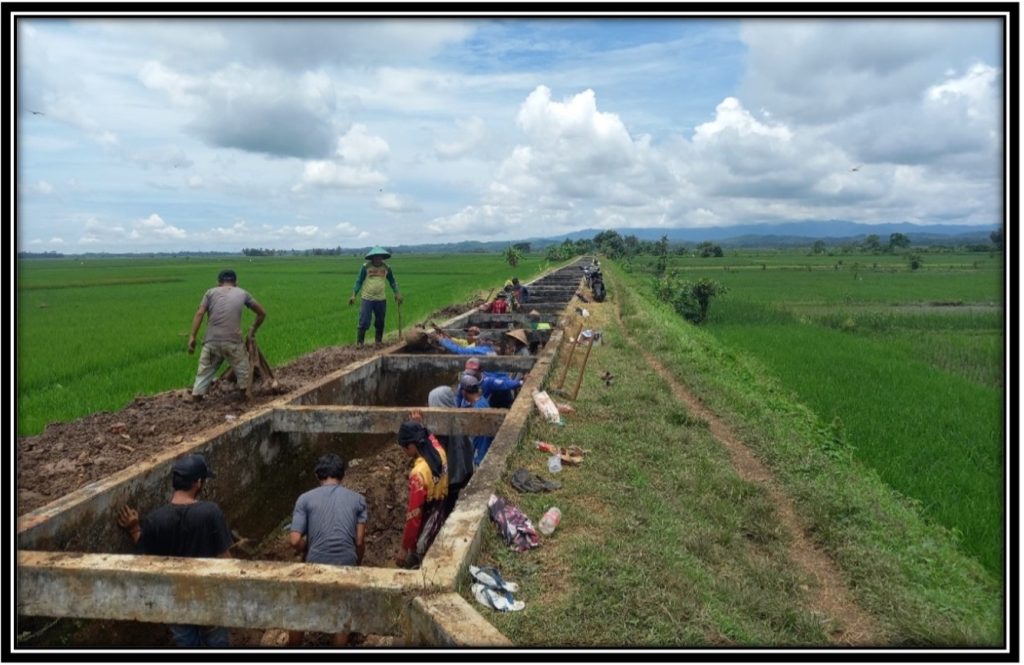
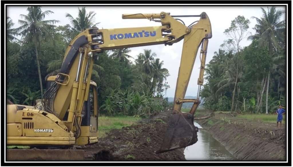
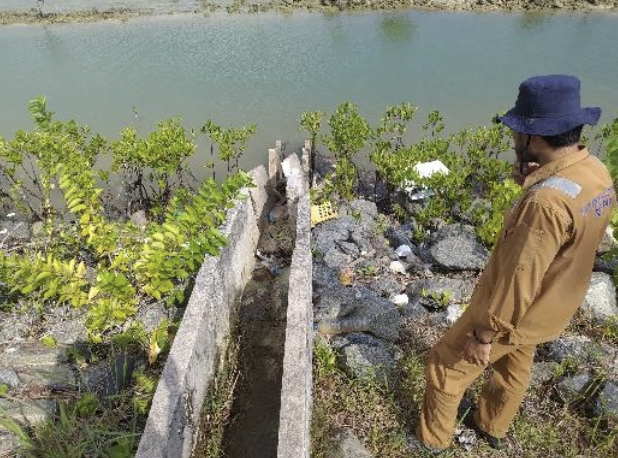
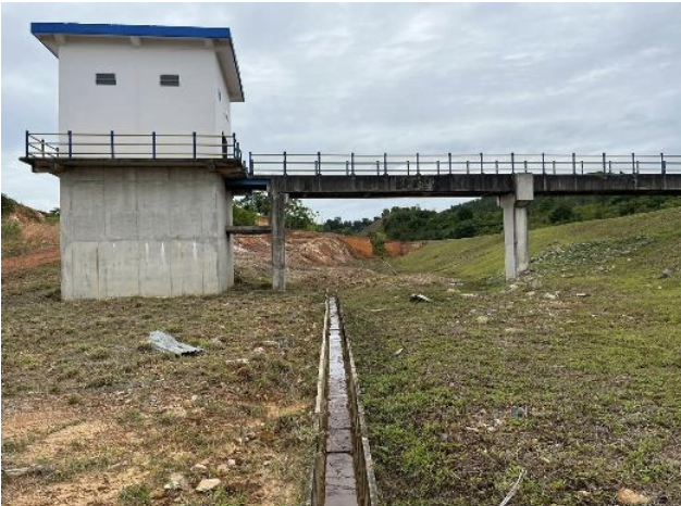
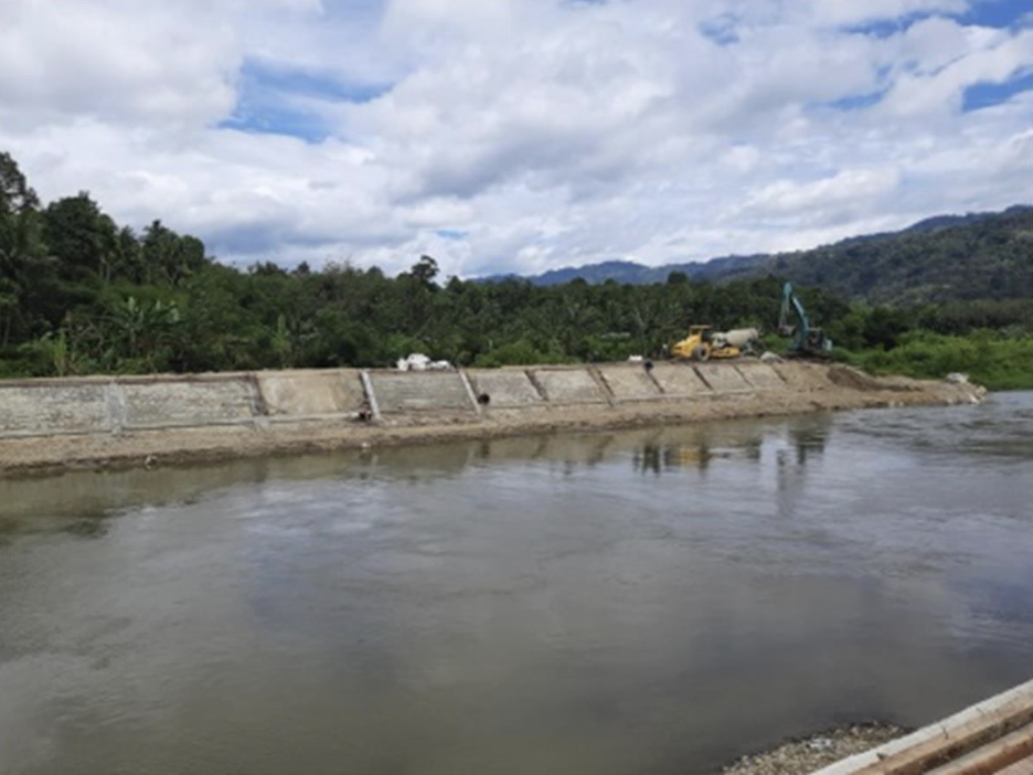
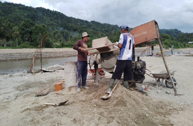
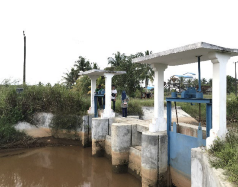
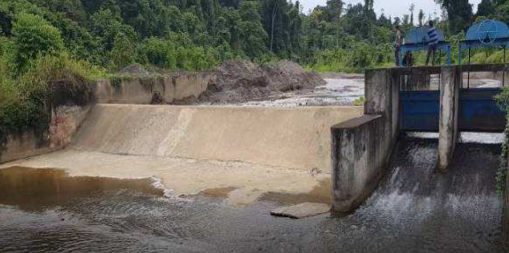
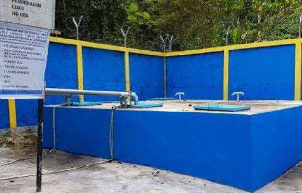
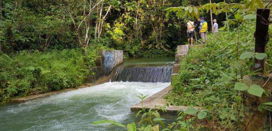
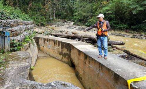
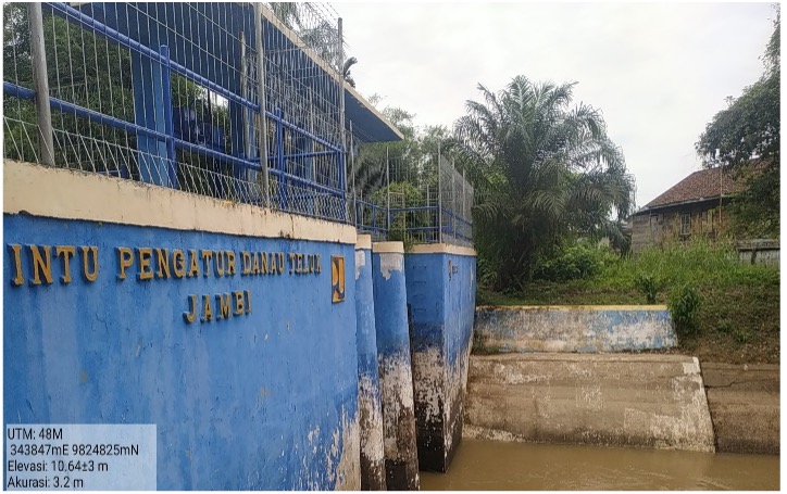
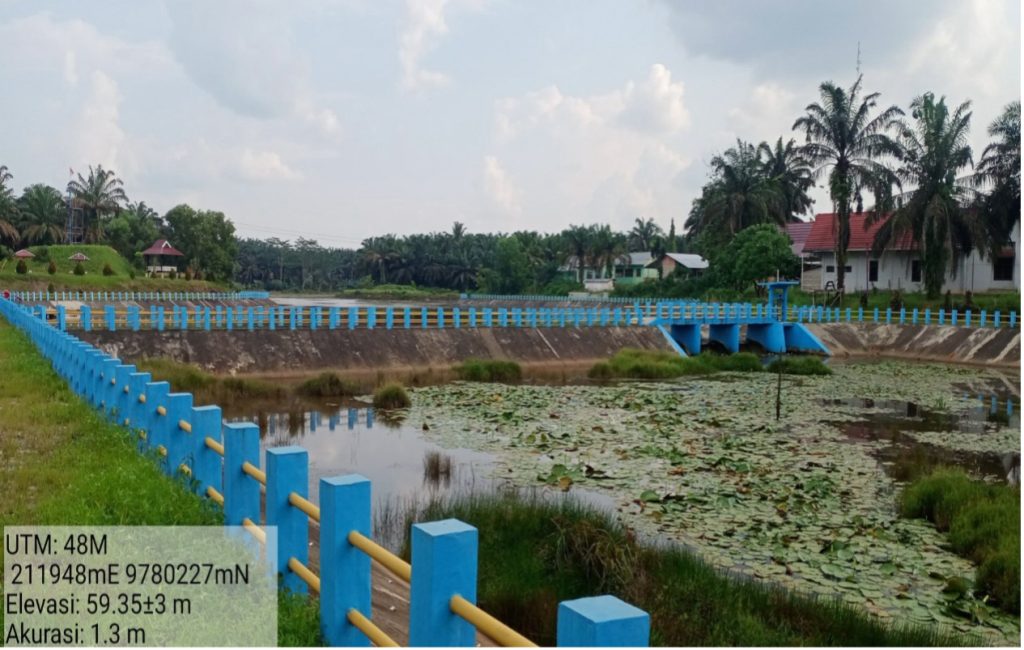
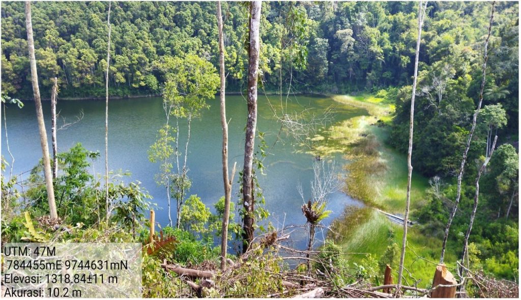
✔ Water Intake System Development – Construction of intake structures to optimize raw water extraction.
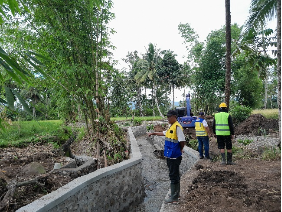
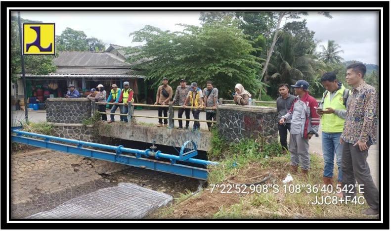
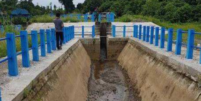
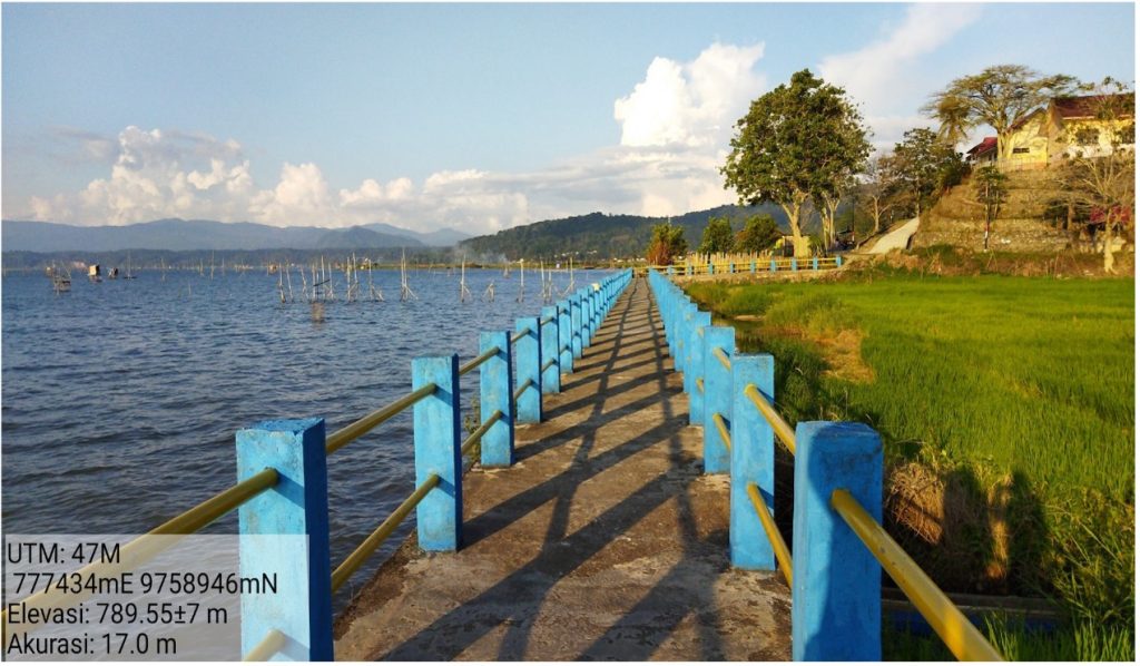
✔ Pipeline and Distribution Network Installation – Ensuring efficient and sustainable water transport to target areas.
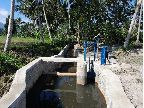
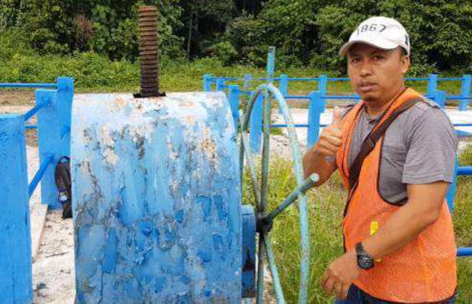
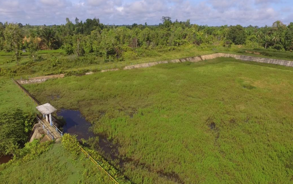
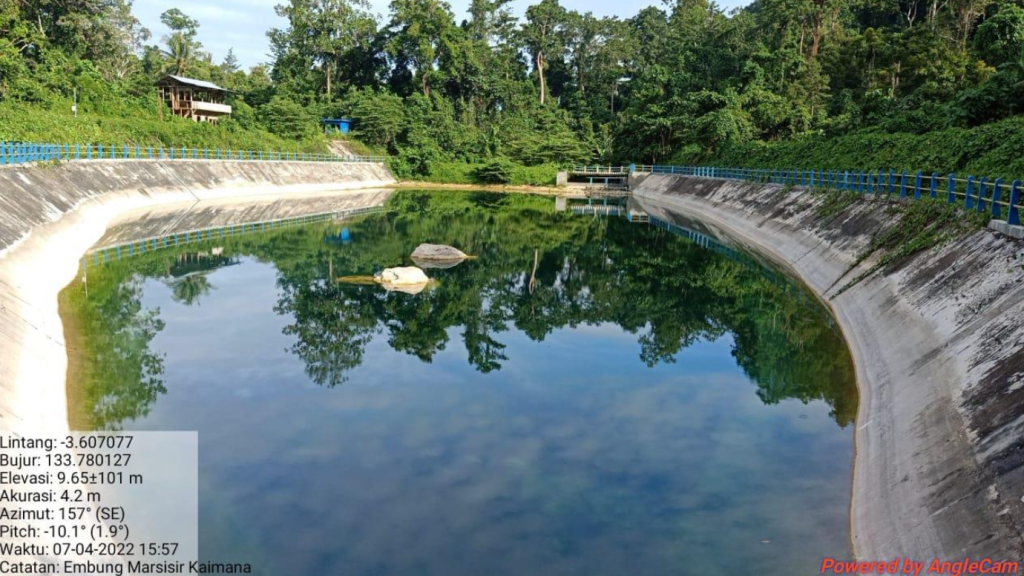
✔ Reservoir and Pumping System Integration – Improving storage and delivery efficiency.
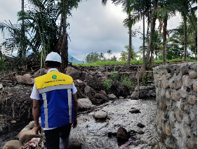
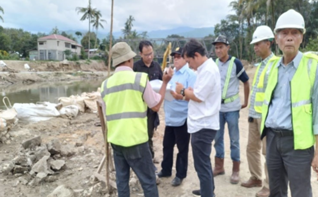
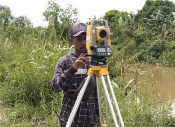
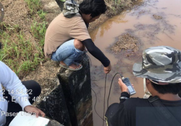
✔ Technical Supervision & Compliance – Monitoring construction quality to meet national water management standards.
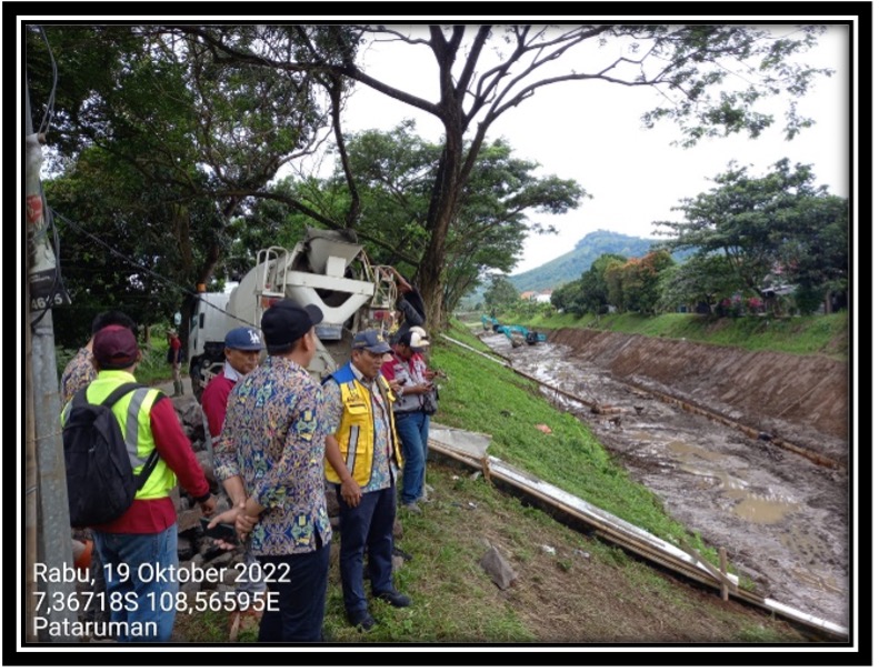
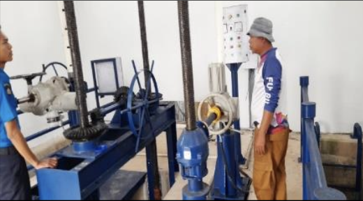
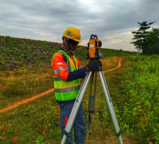
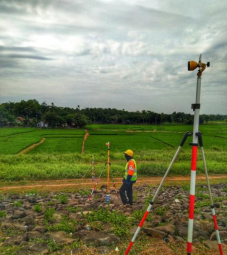
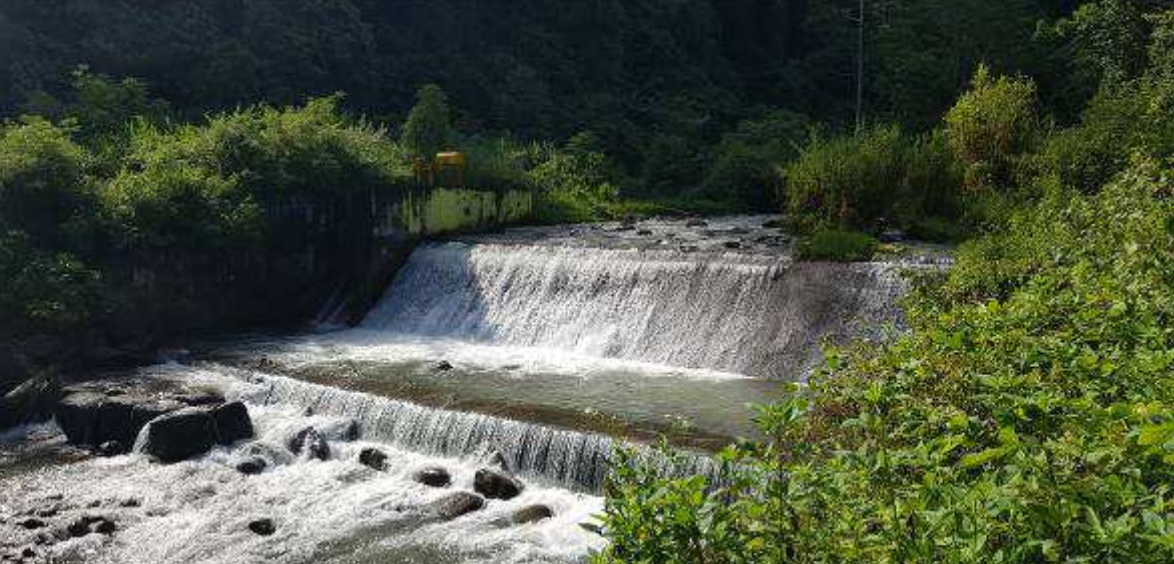
The project involved hydraulic and structural assessments, material quality inspections, and on-site monitoring to ensure that the infrastructure meets long-term operational and safety standards. Additionally, environmental impact studies were conducted to mitigate potential risks associated with water extraction and distribution.
As a strategic initiative supporting regional development, this project plays a critical role in securing water resources for communities, providing long-term benefits for urban expansion, irrigation improvements, and industrial sustainability in the region. By integrating smart water management strategies and advanced engineering solutions, this initiative ensures efficient, sustainable, and resilient water resource utilization for the future.
Status: 100% Completed – Ready for Operation