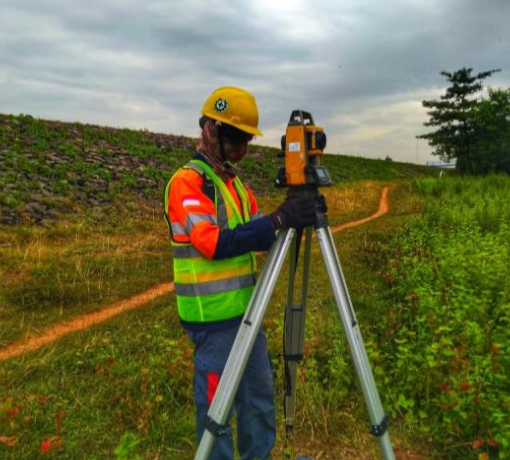
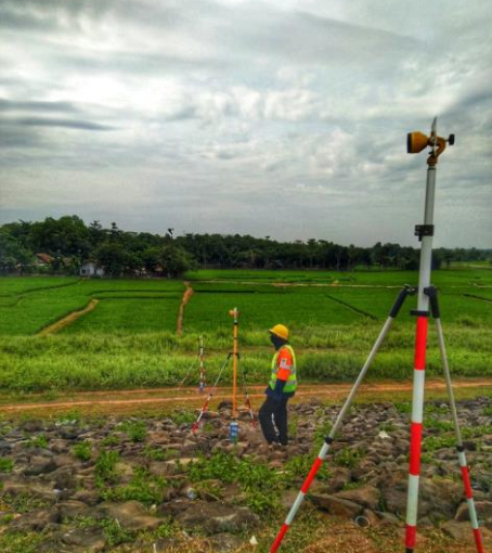
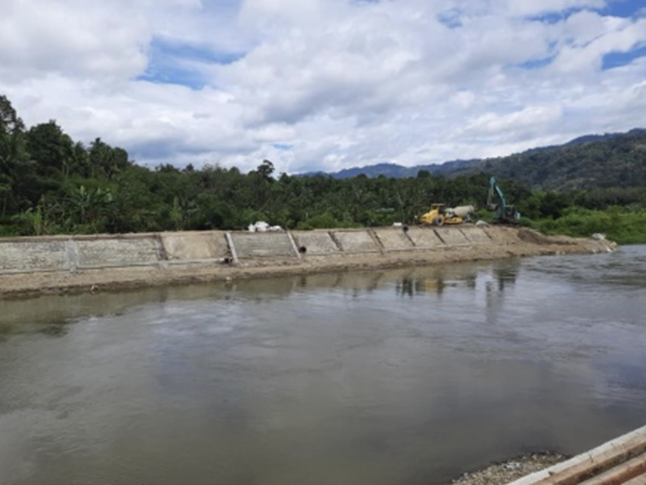
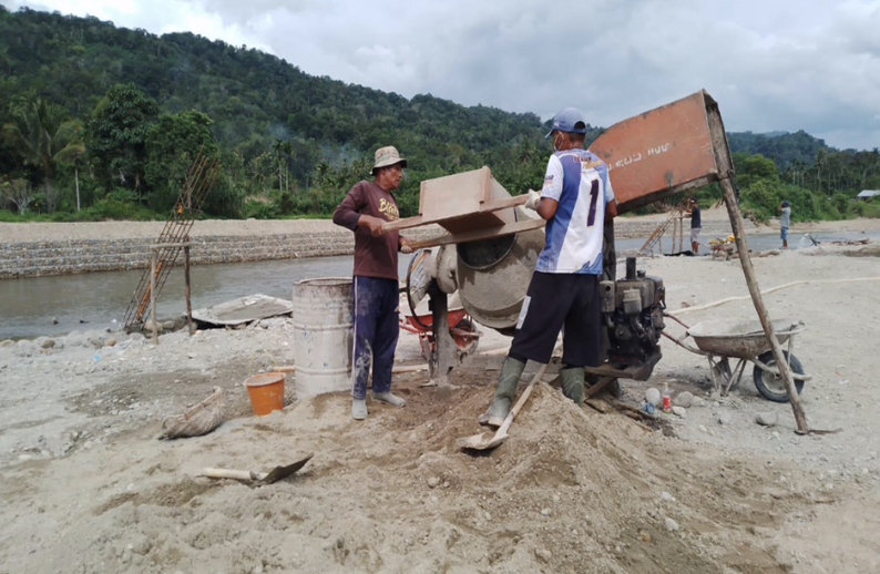
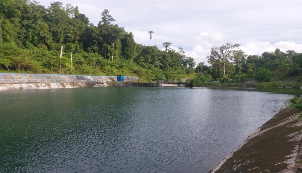
Supervision of Irrigation Network Improvement at Siak Kiri Tidal Irrigation Area, Bunga Raya District, Siak Regency – Phase II

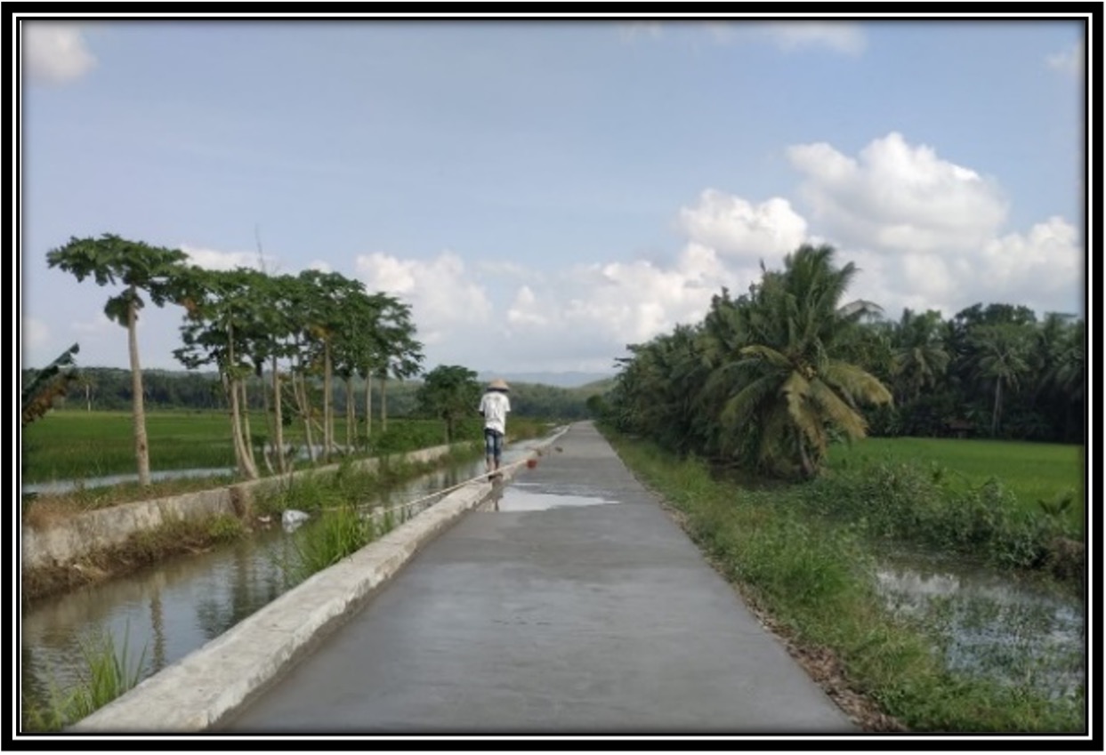
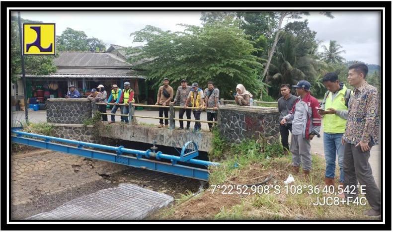
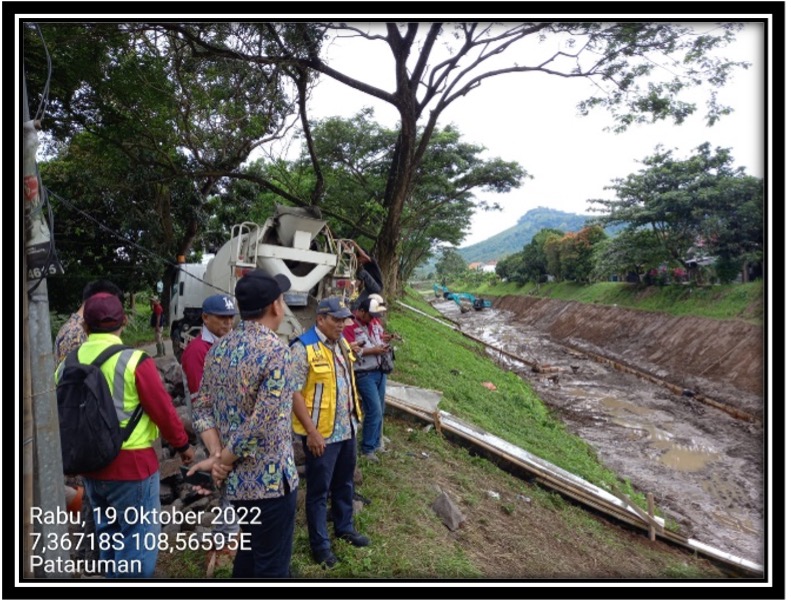
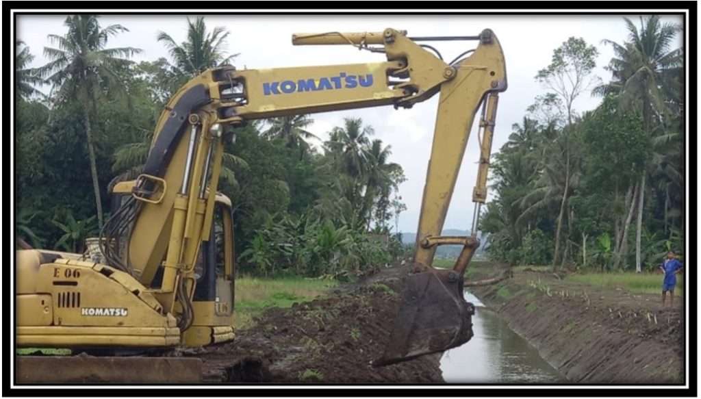
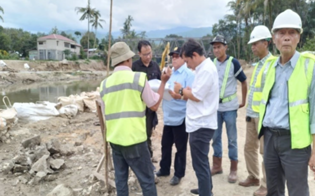
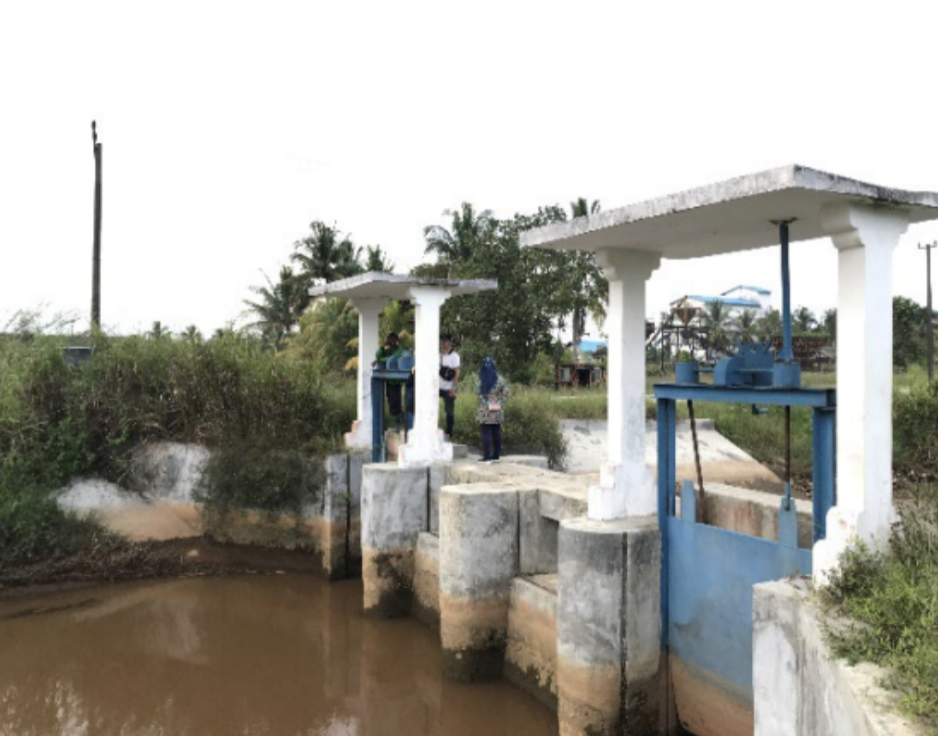
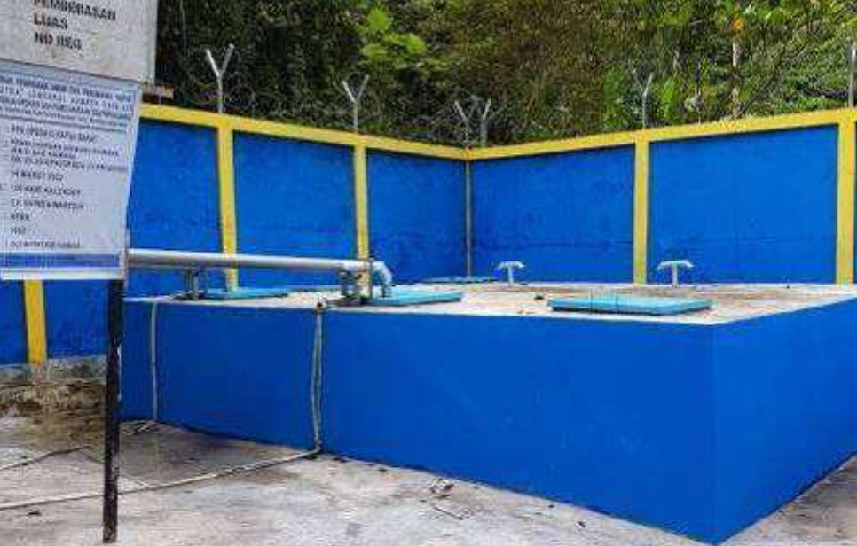
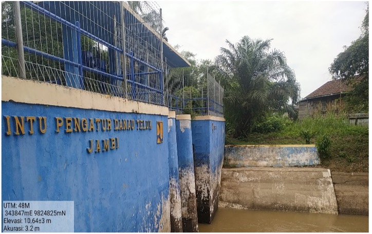
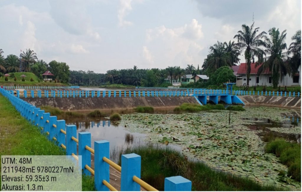
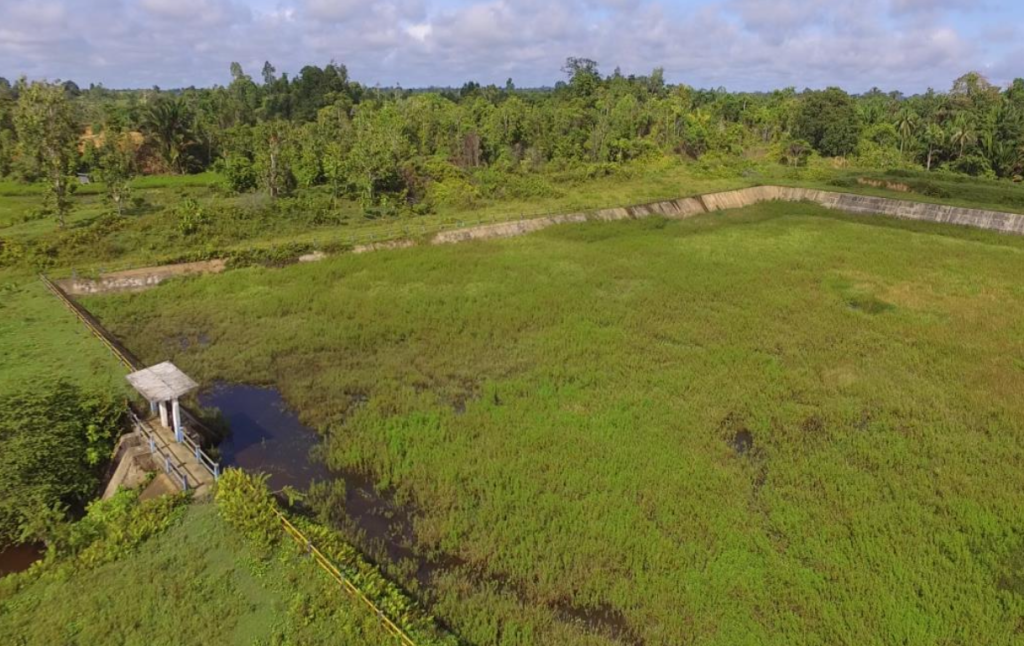
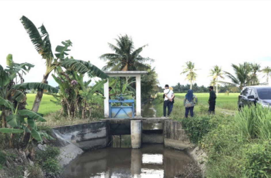
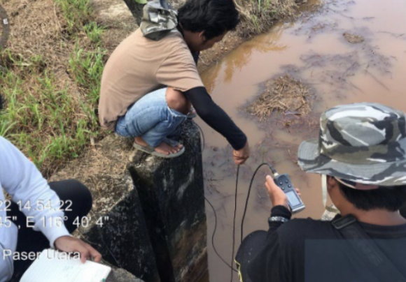
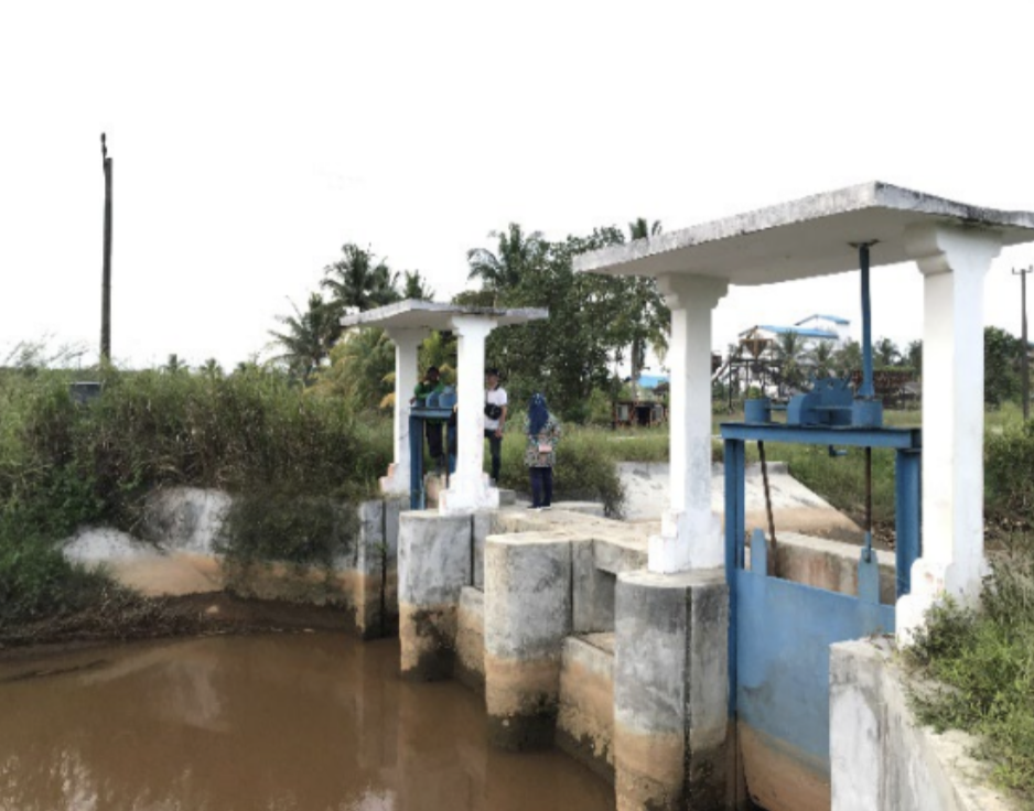
This project aims to oversee the improvement of the Siak Kiri Tidal Irrigation Area (D.I.R Siak Kiri) to expand productive rice fields and increase the cropping index in Bunga Raya District, Siak Regency, Riau Province. The irrigation system utilizes water from the Siak River through a pump system, addressing water shortages, especially during the dry season. This project is a continuation of the previous phase, which successfully increased the cropping index from IP 200 to IP 300 in certain areas, supporting the sustainability of the region’s agricultural sector.

The project is executed by PT. Globetek Glory Konsultan KSO CV. Atrium Arsitek Konsultan Perancang KSO CV. Andika Penta Mandiri Konsultan, under the supervision of Balai Wilayah Sungai Sumatera III, with a duration of 300 calendar days. The supervision process includes quality control of construction, work volume monitoring, and ensuring compliance with schedules and budgets, guaranteeing adherence to design, technical specifications, and contractual documents.

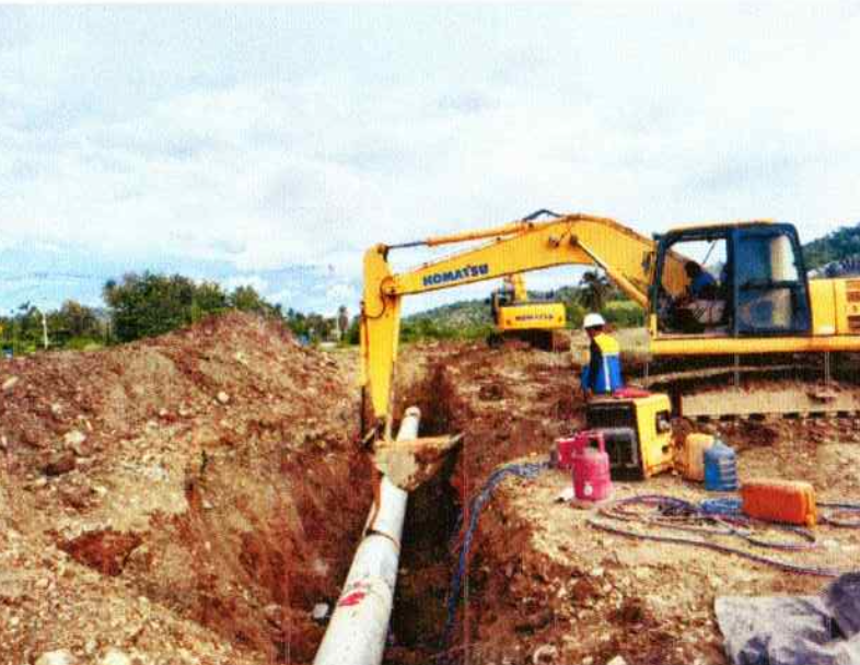
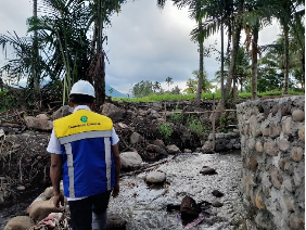
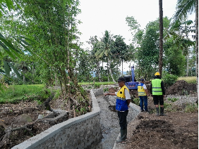
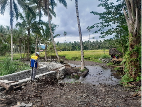
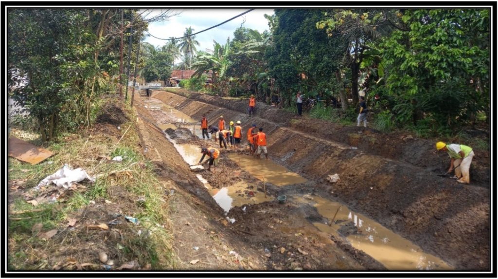
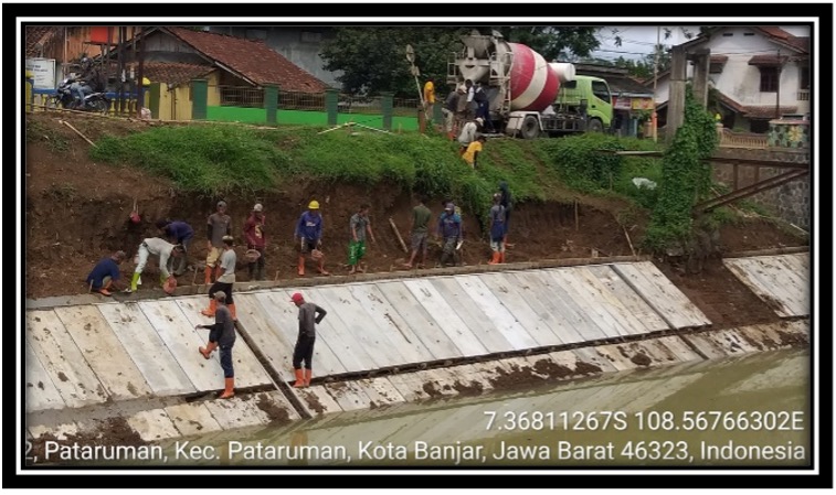
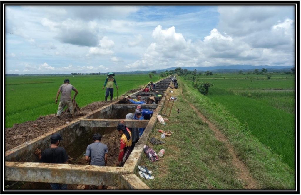
Key areas of supervision include the construction and rehabilitation of irrigation channels, installation of water distribution pipelines, and improvement of supporting infrastructure such as pump houses, drainage systems, and access roads. Additionally, supervision covers regular reporting, evaluation of implementation methods, and coordination with stakeholders to ensure smooth project execution. With an approach based on national standards, this project is expected to enhance agricultural productivity, optimize water resource management, and strengthen economic resilience in Siak Regency.


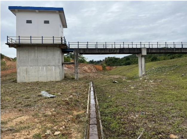
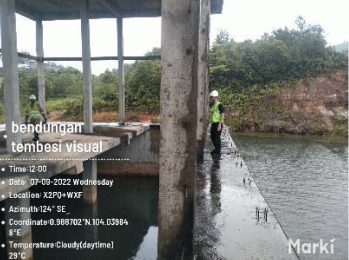
Supervision of Remedial Works for Karinga Dam in Sumba Island

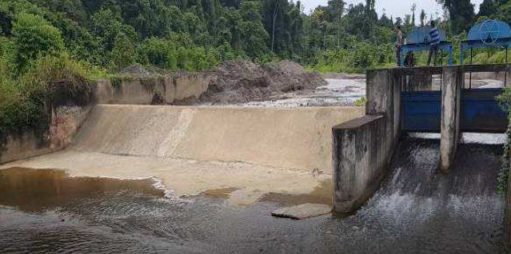
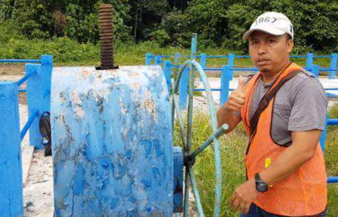
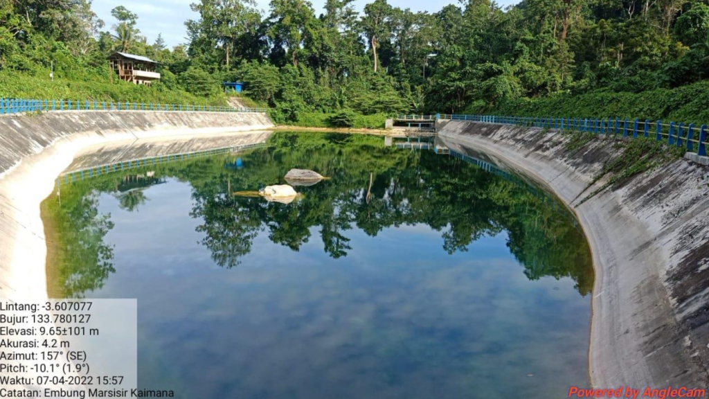
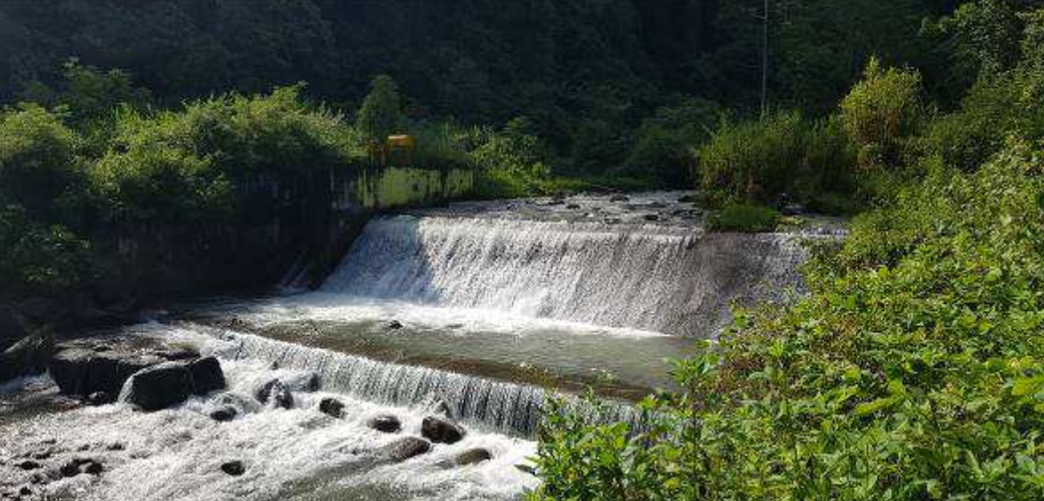
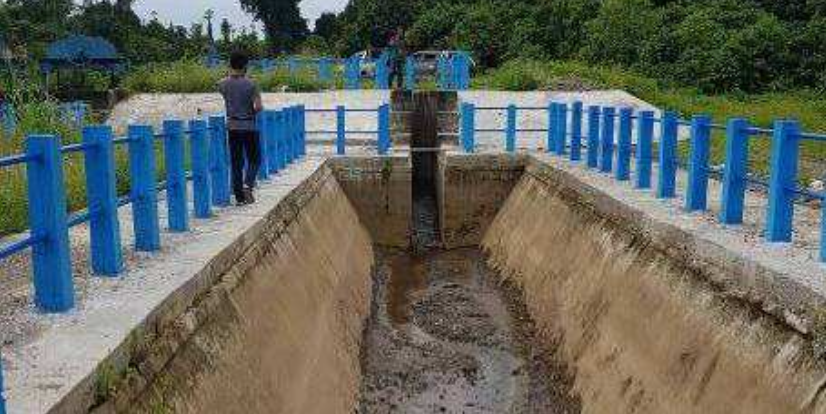
This project aims to oversee the remedial works of Karinga Dam to ensure its optimal function in providing irrigation water, maintaining water availability, and reducing flood risks in downstream areas. The remedial work is necessary due to structural damages and declining dam performance, which could compromise its stability and storage capacity. Therefore, supervision is conducted to ensure that all rehabilitation efforts comply with technical specifications, national regulations, and dam safety standards.

The project is executed by PT. INAKKO KSO PT. Globetek Glory Konsultan, under the direction of Balai Wilayah Sungai Nusa Tenggara II, with a duration of 360 calendar days. Karinga Dam is located in Palanggai Village, East Sumba District, Sumba Island, an area highly dependent on water availability for agriculture and domestic needs.

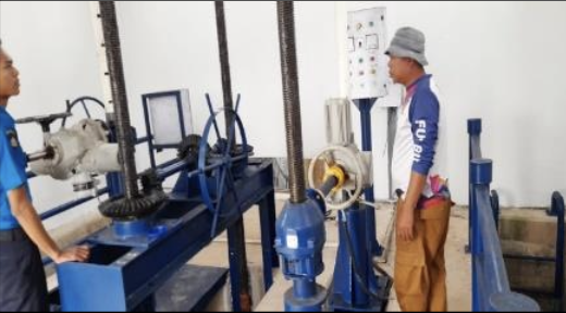
The supervision scope covers construction oversight, material quality verification, evaluation of implementation methods, and project time and cost control. The key remedial works include dam body repairs, reinforcement of the spillway, enhancement of the drainage system, and slope stabilization to prevent landslides and leakage. Additionally, the project involves the construction of access roads and the improvement of dam monitoring systemsto ensure safer and more efficient operations in the future.

With an approach based on national and international standards, this project not only ensures the long-term functionality of Karinga Dam but also strengthens water resilience for agriculture, promotes efficient water resource management, and improves the well-being of local communities. The outcomes of this supervision contribute to the long-term strategy of enhancing irrigation infrastructure in Sumba Island, addressing future water availability challenges.


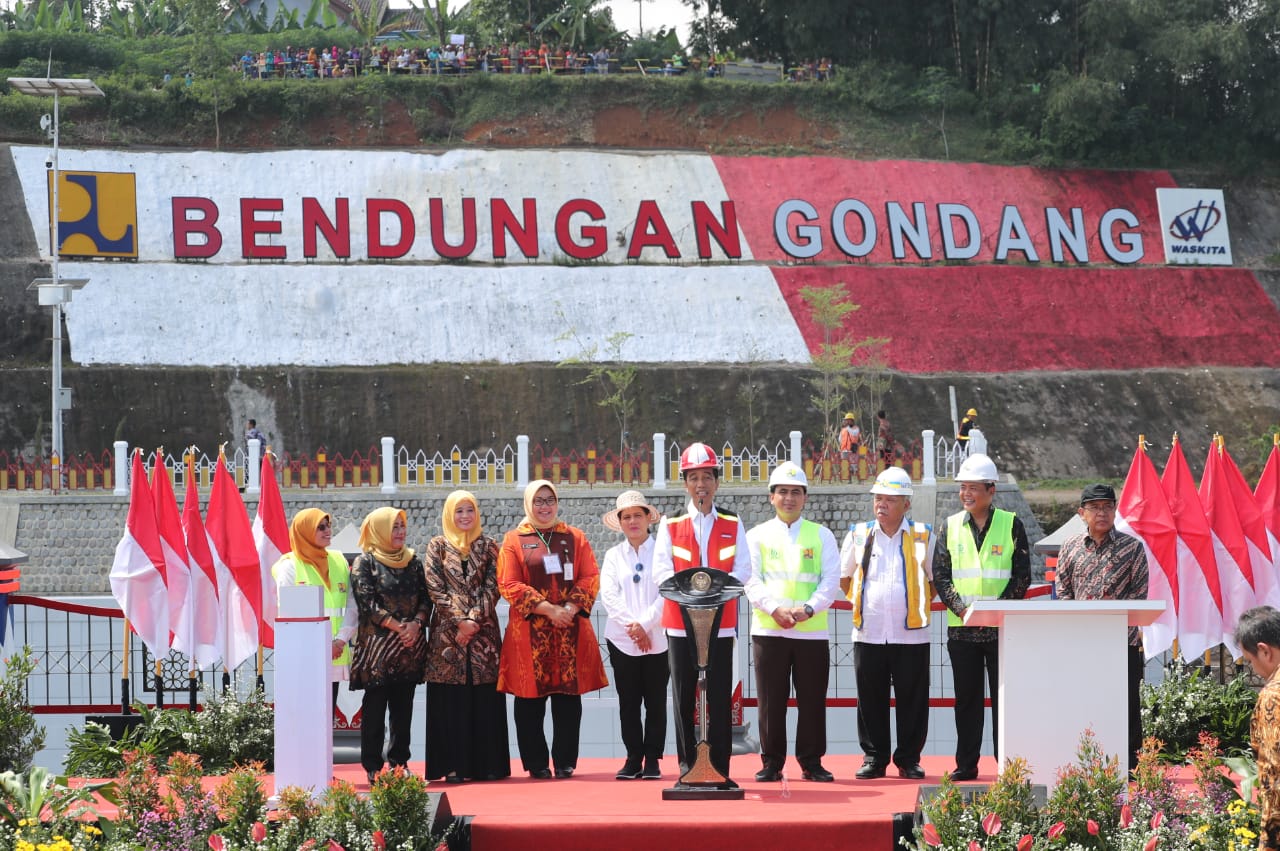
Supervision of Sabo Dam at Trising River, Magelang Regency

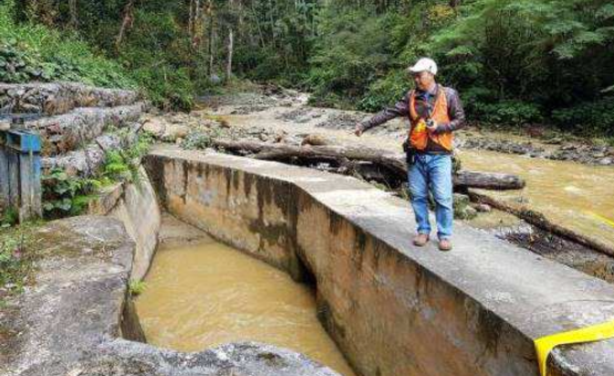
The Supervision of Sabo Dam Construction at Trising River TR-RRD2, Magelang Regency aims to ensure that construction complies with technical specifications, national regulations, and safety standards as part of an effort to control cold lava (lahar) flows from Mount Merapi. Uncontrolled lahar flows pose significant risks to farmland, residential areas, and infrastructure, making this project a crucial part of disaster mitigation strategies. Conducted by PT. Globetek Glory Konsultan in collaboration with KSO partners under the supervision of SNVT Pelaksanaan Jaringan Sumber Air Serayu-Opak, the project was carried out over 210 calendar days, from March 10, 2021, to October 6, 2021, funded by the State Budget (APBN) for the 2021 Fiscal Year.

The supervision scope includes quality verification of materials and construction methods, physical work monitoring, cost and schedule management, and design adjustments based on field conditions. The key infrastructure consists of the sabo dam, retaining walls, and evacuation routes, constructed using K175 concrete and stone masonry to withstand lahar flows. Additionally, the project involves the construction of access roads to the Sabo Dam, facilitating operational efficiency and long-term infrastructure maintenance. With a systematic and nationally standardized approach, this project strengthens water resource infrastructure resilience in Magelang Regency, enhances public safety, and serves as a strategic measure in managing Mount Merapi’s lahar flow disasters.


Flood Control Supervision in Boven Digoel

The Supervision of River and Coastal Development in Merauke and Boven Digoel aims to ensure the smooth execution and quality of three key infrastructure projects: the Digoel River damage control structure, the Merauke City flood control system, and the Ndalir coastal protection structure. This project is supervised by PT. Globetek Glory Konsultan under the direction of Balai Wilayah Sungai Papua Merauke, ensuring compliance with technical specifications, national regulations, safety standards, and environmental sustainability.

The supervision covers on-site technical monitoring, quality management, and project cost and schedule control. Key activities include physical construction oversight, coordination among stakeholders (project owners, contractors, and consultants), and technical adjustments based on real-time field conditions. The process also involves verifying material quality, tracking project progress, and compiling periodic reports to ensure alignment with project targets.

Through a systematic approach based on national standards, this project contributes to flood risk reduction, coastal area protection, and sustainable water infrastructure development. In addition to enhancing environmental resilience, it also plays a strategic role in efficient water resource management in Papua, supporting long-term socio-economic sustainability for local communities.


Supervision of the Plesungan Weir Rehabilitation at Pondok Irrigation Area, Ngawi Regency

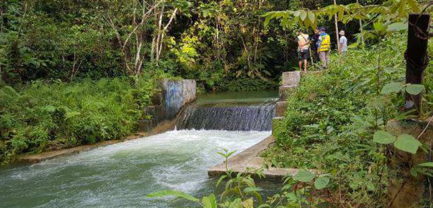
The Plesungan Weir rehabilitation project aims to improve the efficiency of the irrigation system sourced from Pondok Reservoir, supporting agricultural productivity in Ngawi Regency. With a 270-day timeframe and funded by the 2021 State Budget (APBN), the project was supervised by SNVT for Water Utilization Network Implementation of Bengawan Solo, in collaboration with supervisory consultants and contractors.

The scope of supervision includes construction oversight, quality control, and design revisions to ensure cost efficiency, structural safety, and optimal infrastructure functionality based on site conditions. Design modifications were implemented to adjust revetment structures and work volumes while maintaining the integrity of the main structure.

The project was successfully completed 100% on target, with intensive supervision and strong coordination with relevant stakeholders. Moving forward, sustainable management and synergy with local communities through the Cash for Work (PKT) program are recommended to enhance local economic impact.

Status: 100% Completed – Ready for Maintenance Phase


Kuala Kampar Beach Security Survey, Investigation, and Design (SID)

Coastal erosion caused by strong wave impacts has led to land loss and poses a threat to public facilities. Therefore, a project was initiated to develop a detailed construction plan for coastal protection, serving as a guideline to safeguard the area from further erosion. Located in Kuala Kampar District, Pelalawan Regency, Riau, this coastal region is experiencing severe erosion in several critical areas, characterized by unique hydrodynamic conditions due to the Bono phenomenon (strong tidal currents).

Several surveys were conducted to support project planning, including topographic, bathymetric, soil mechanics, hydrology, and socio-economic surveys. These aimed to assess coastal conditions, tidal dynamics, and the project’s impact on the local community. Based on the findings, key coastal protection measures were proposed, such as breakwaters to dissipate wave energy, revetments for direct shoreline protection, jetties to manage sedimentation, and groins to reduce sand movement and prevent erosion. The project is expected to mitigate coastal erosion, enhance community safety, and create job opportunities while addressing challenges like sedimentation, ecosystem shifts, and workforce development for local labor involvement.


Bodri River Zoning

Recently, mining activities in the Bodri River, especially in the river area, have become increasingly concerning. Of course, if left unchecked, this will damage the river body, river channels, cause degradation of the river bed which can result in landslides of river embankments and river buildings and other buildings in the river.

Mining is carried out by local communities traditionally in the dry season or by entrepreneurs using heavy equipment (back hoe). Miners in the Bodri River do not yet have permits. Based on the above, the extraction of mining commodities in the Bodri River causes environmental damage.

The river area in the form of river boundaries is severely damaged. This condition is very disturbing to the surrounding community, the environment and ecosystem are damaged. On the one hand, traditional mining benefits the community because it is a source of income during the dry season, on the other hand, the ecosystem and environment are damaged if mining is carried out using heavy equipment without following the correct procedures.

Based on the results of data collection, compilation and analysis of regulations, territorial and technical analysis related to the planning area in the Bodri River, the following main conclusions can be identified: 1. The results of field inventory activities throughout the scope of this zoning activity, found that there were seven transverse/longitudinal buildings, including: 5 bridges, 1 check dam and 1 weir. The river facilities and infrastructure that were damaged were: ❖ Kali Putih Check Dam was built in 2017 and experienced damage to the check dam wall in 2019. Where ± 90 meters upstream and ± 60 meters downstream of the check dam building there were mining activities. ❖ Gabion upstream of the Singorojo Bridge was built in 2020 and was damaged in 2022. Where ± 400 meters downstream of the gabion building there were mining activities. ❖ Singorojo Bridge experienced erosion/landslides on the riverbank under the bridge. Where ± 325 meters downstream of the Singorojo Bridge there are mining activities.

2. From 11 (eleven) observation points, mining activities were found that did not have permits. These activities are in the form of manual extraction and also involve heavy equipment such as excavators and transport trucks.

3. Based on data from the Energy and Mineral Resources (ESDM) Service of Central Java Province in 2023, it is known that there are permit holders located on the Bodri River (in the study area). Including 3 IUP holding companies that are in the exploration permit stage and 2 companies are in the reserve permit stage.

4. Manual mining and heavy equipment until now still cause damage to river walls and cliffs and cause changes in river morphology, including erosion and sedimentation in several places.

Based on the analysis, there are quite significant changes in river morphology or flow based on a comparison of the digitization of the Bodri River trough boundary in 2015 with aerial photo mapping in 2023. Based on the results of the overlay analysis of the Bodri River trough boundary in 2015 with aerial photo mapping in 2023, it is known that there is a change in the river trough boundary of 4,322 meters in length, a change in the shift in the width of the river ranging from 2 meters to 250 meters (which has exceeded the width of the river boundary) and a height/thickness ranging from ± 2 meters. 6. The potential rate of sediment potential in the Bodri Watershed is 447,203.74 tons/year. This material is a general input to the sedimentation balance in the Bodri River (study segment 24.5 km), while the Suspended Load Discharge based on the calibration of laboratory sample test results for one year is 300,624.58 tons/year where this result is the sedimentation input of the Bodri River at the activity location. 7. The results of observations and interviews in the field show that the estimated volume of excavation/mining in the form of sand and stone is estimated at 576,700 tons/year, where this result is the output of sedimentation of the Bodri River at the activity location. This value includes observation points and also mining locations, including. 8. Based on the geological review and field observations, it can be concluded that mining materials in the form of sand and stone come from the right and left of the riverbank that has experienced landslides. This is because the Bodri Watershed does not produce sand and stone material input as volcanic products. 9. Based on the multicriteria analysis, it can be seen that the level of river damage, both in the river body and on the riverbank, shows moderate and severe damage due to mining, both manual mining and using heavy equipment, so that it is not allowed to carry out material/mining activities in the Bodri River planning area from the Lutut River in Kaliputih Village, Singorojo District to the Bodri River in Puguh Village, Pegandon District. In addition, the damaged condition of the river body and boundaries cannot recover naturally due to mining activities in the Bodri River.

Based on the Regulation of the Minister of Public Works and Public Housing of the Republic of Indonesia Number 28/PRT/2015 concerning the Determination of River Boundary Lines and Lake Boundary Lines, the boundary line on the Bodri River is set at a width of 100 m on the right and left of the riverbed. 11. The results of the analysis of flood inundation with annual Q50 at the study location (segment length 24.5 km) showed that in general the area of ​​flood inundation is within the boundary line (100 m on the right and left from the edge of the riverbed). However, several agricultural lands, plantations, and residential areas located within the river boundaries are potentially affected by flooding.

Performance Assessment and Actual Needs for Operations and Maintenance (AKNOP) Development for River Infrastructure in Manado & Minahasa

As part of a commitment to sustainable water resource management, this project aims to assess the operational performance of river infrastructure and develop the Actual Needs for Operations and Maintenance (AKNOP) to enhance the efficiency and effectiveness of river management. Covering the City of Manado, Minahasa Regency, and North Minahasa Regency, this project focuses on 15 key rivers that play a crucial role in the regional hydrological system and flood mitigation efforts.

The implementation involves a data-driven and technically comprehensive approach, including infrastructure inventory, institutional assessment, hydrological and topographical surveys, and physical condition mapping of river facilities. Leveraging modern technology and strict technical standards, each stage of the assessment is conducted systematically to generate strategic recommendations that can be effectively implemented.

This project adheres to the latest regulations, including UU No. 17 of 2019 on Water Resources, as well as technical guidelines from the Ministry of Public Works and Housing (PUPR) of Indonesia regarding river operations and maintenance. The key deliverables include a River Operations and Maintenance Performance Assessment Report, Operations & Maintenance Manual, Cost Budget Plan (RAB), as well as visual documentation and thematic maps, serving as primary references for optimizing river infrastructure management.

A multidisciplinary approach and synergy with various stakeholders are the keys to ensuring that the proposed recommendations effectively address future challenges in river management. With a fact-based analysis and measurable methodologies, this project is expected to make a tangible impact on enhancing the efficiency of river operations and maintenance across Indonesia.


Supervision of Keuliling Reservoir Rehabilitation

Keuliling River is one of the sub-basins of the Krueng Aceh Watershed which has a large water potential to increase the provision of raw water in order to meet the water needs of Banda Aceh and Aceh Besar. Based on the study of the development of the Krueng Aceh watershed in 1996, the construction of the Keuliling Reservoir, in addition to meeting the water needs for irrigation of the Krueng Aceh Extension and Krueng Jreue covering an area of ​​3,159.30 Ha, can also support the increase in the area of ​​rain-fed rice fields into technically irrigated rice fields, namely the Keuliling Hilir District covering an area of ​​1,053 Ha, and the Keuliling Hulu District covering an area of ​​578.20 Ha. In addition to raw water and irrigation, the Keuliling Reservoir can be used as an alternative location for sports facilities, including rowing while maintaining the eligibility criteria in accordance with applicable standards.

The location of the Keuliling Reservoir Rehabilitation Supervision Work is located in Cot Glie District, Aceh Besar Regency, Nanggroe Aceh Darussalam Province, which is ± 35 km from the center of Banda Aceh towards Medan and can be reached by four-wheeled vehicles within 1 hour.

In the landscape arrangement of Keuliling Reservoir, it refers to the applicable rules and regulations as discussed more fully in the Landscape Report. In addition, it also takes into account existing conditions in the field and the results of coordination and discussions with related parties, especially the directors of the work and the Keuliling Reservoir Dam Management Unit (UPB) as the manager. Several conclusions that can be drawn from the Keuliling Reservoir landscape arrangement plan are:

1. There is a disposal area for landfills that have been leveled with heavy equipment around the Keuliling Reservoir pool as a result of excavation/dredging work in the reservoir pool and on the land edge of the reservoir pool that is being prepared for venue of PON XXI September 2024. For this reason, it is necessary to arrange the landscape of the disposal area for tourism, sports and greening purposes.

2. Arrangement of the Keuliling Reservoir landscape planned in disposal areas 1 and 2, namely:

– Alternative 1 (there are supporting buildings), with the concept of tourism, interactive playgrounds for children, water tourism (shallow) and sports, which are equipped with supporting building facilities such as toilets, prayer rooms, culinary huts.

– Alternative 2 (without supporting buildings), with the concept of agrotourism, only landscaping by planting fruit trees that are grouped according to their type into their respective zones. Equipped with complementary tourism facilities in the form of buildings for prayer rooms and toilets.

3. Arrangement of the landscape of the UPB Office complex and UPB House Keuliling Reservoir, where in addition to the arrangement of the garden/yard, there is also the addition of 1 UPB mess unit with a capacity of 5 rooms for UPB guests/employees.

4. Landscaping of the existing mushalla area of ​​Keuliling Reservoir with improvements to the appearance of the mushalla by adding a facade around it (adopted from the Baiturrahman Grand Mosque in Banda Aceh) and arranging a garden in the mushalla area. 5. Landscaping of disposal areas 3, 4 and 5 which are designated for greening and agrotourism, because the location can currently only be reached by boat.

Supervision of Coastal Protection construction in Ibu District Stage 2

The Ministry of Public Works and Public Housing (PUPR) of the Republic of Indonesia in this case, the Directorate of Water Resources, one of its functions is to carry out the construction of Water Resources facilities and infrastructure in the field of implementing water source networks to support the construction of coastal protection construction facilities. In the 2023 Budget Year, the Supervision work will be carried out for the Construction of Coastal Protection Construction in Ibu District Phase II in West Halmahera Regency, North Maluku Province, including the Supervision Work for the Construction of Coastal Protection Construction in Ibu District Phase II.

1. Implementation of Supervision Consultant

In the implementation of supervision consultant there are several notes that need to be considered as a reference for further development improvement.

1. At the location of coastal protection construction, periodic dredging is needed due to sediment carried during the wave season and high tide movement.

2. The utilization of coastal protection construction is handed over to the local village government.

2. Construction Implementation

1. The readiness of the implementing contractor greatly affects the smoothness of the work, namely the readiness of the provision of work equipment and manpower. In particular, technical personnel are prioritized who are experienced in the implementation of Coastal Protection Construction Development in Ibu District Phase II.

2. Before the implementation of the work, coordination with the local community is very necessary, this mainly concerns:

– Use of village facilities, including village roads

– Information to the community regarding the project implementation plan.

3. The role of pre-construction socialization is very necessary, especially considering that the location and objectives of the project have a great influence on the local community.

SUGGESTIONS

From the existing conditions, several suggestions for this activity include:

1. To prevent problems that can hamper the implementation of construction, it is advisable that in the auction process for work that is considered to require a fairly high level of technical implementation, contractors participating in the auction are advised to carry out / submit the work implementation method.

2. It is expected that the implementing contractor can place qualified Human Resources, especially field implementers, in order to smooth the implementation of the work.

3. Given the enormous benefits of this project, especially as a safeguard for coastal areas, it is advisable that its handling can be sustainable and synergize with related agencies or institutions.

id_IDIndonesian