Certification of Operation and Maintenance for Sadawarna Dam, Subang – West Java

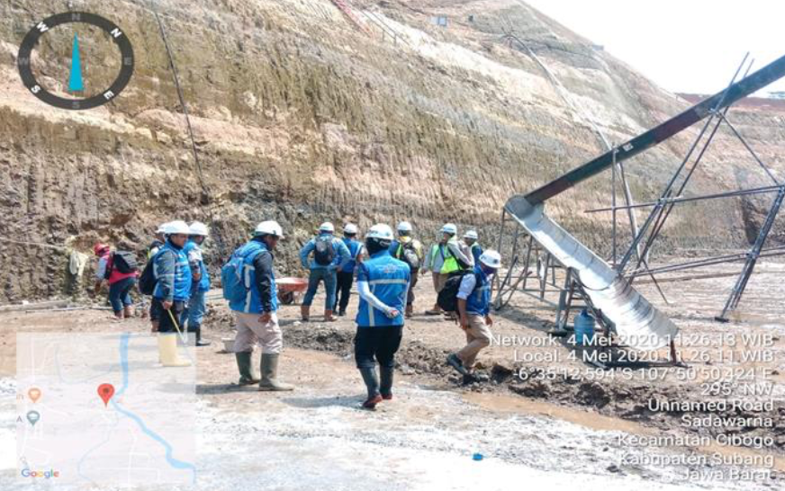
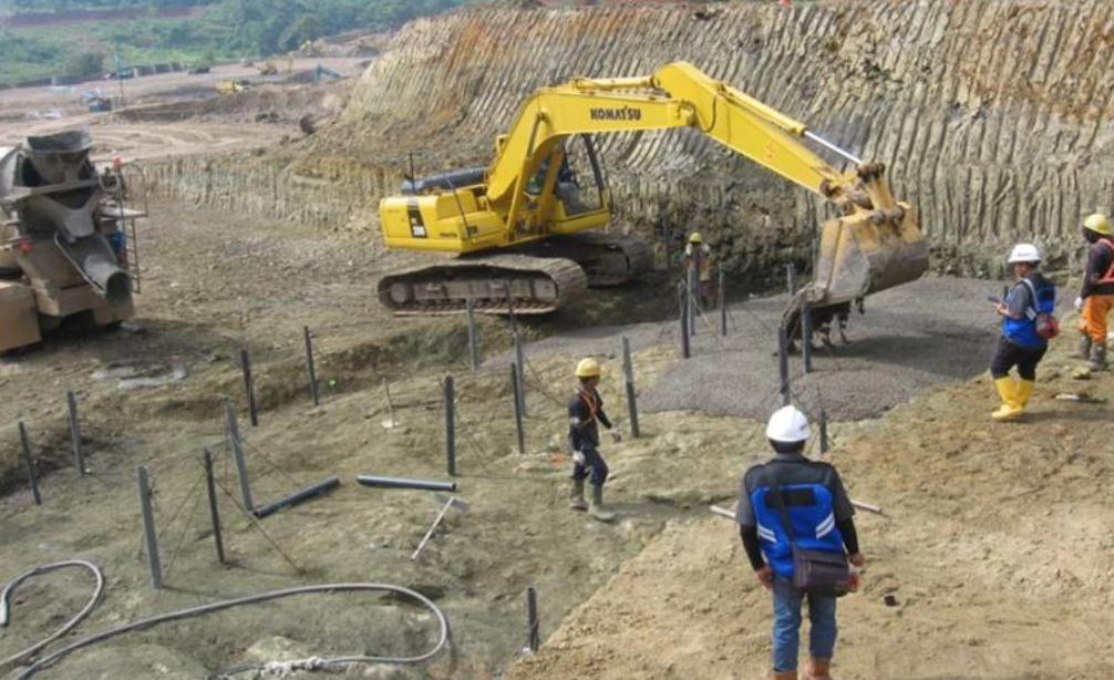
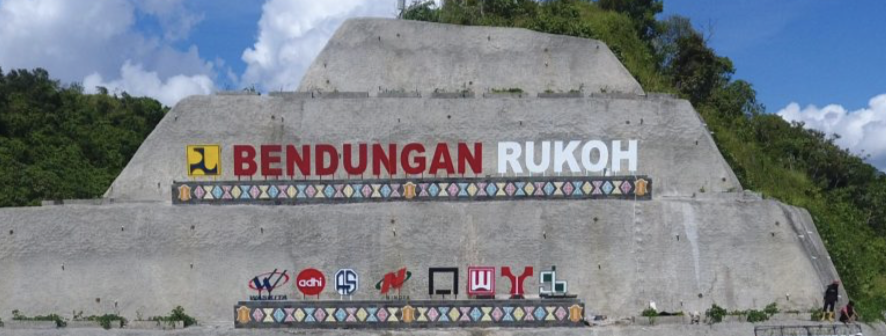
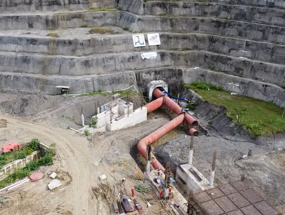
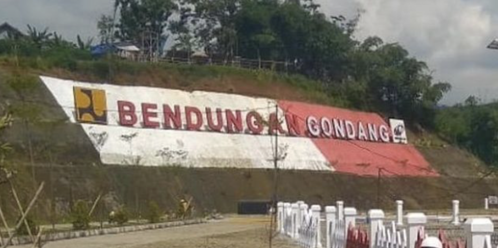
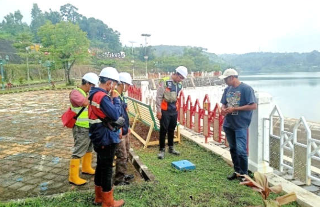
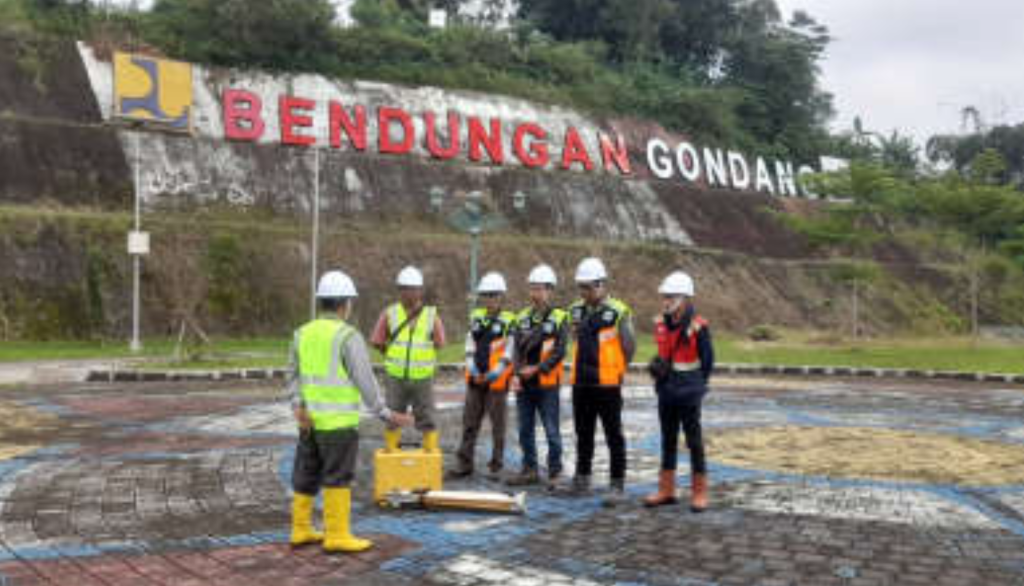
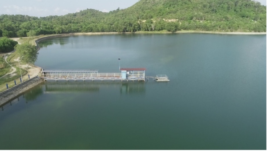
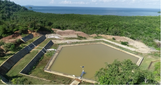
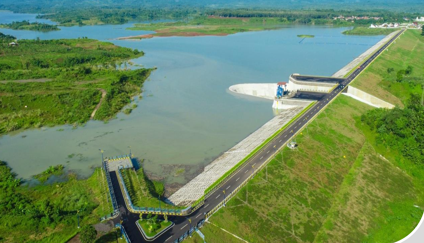
The Operation and Maintenance (O&M) Certification for Sadawarna Dam is a key project to ensure that dam management practices meet national dam safety standards and international best practices. As a strategic dam in West Java, Sadawarna provides multiple benefits including irrigation supply, raw water provision, flood mitigation, and regional water security.

The consultancy services included:

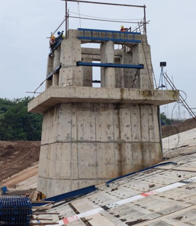
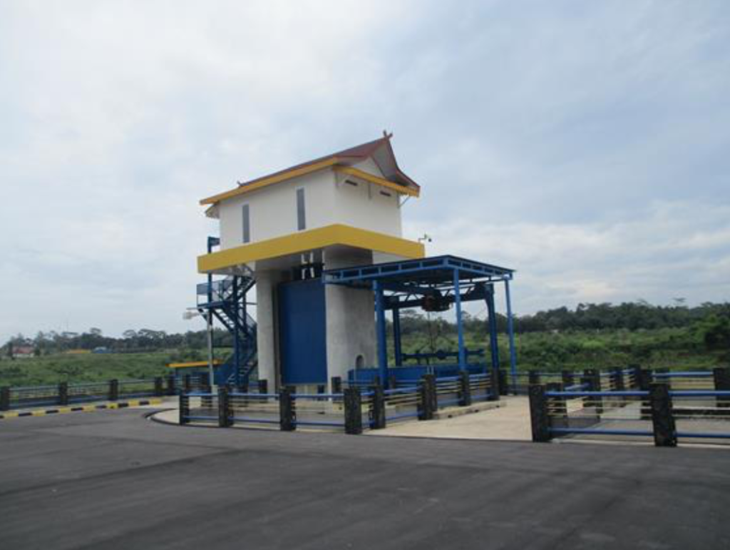
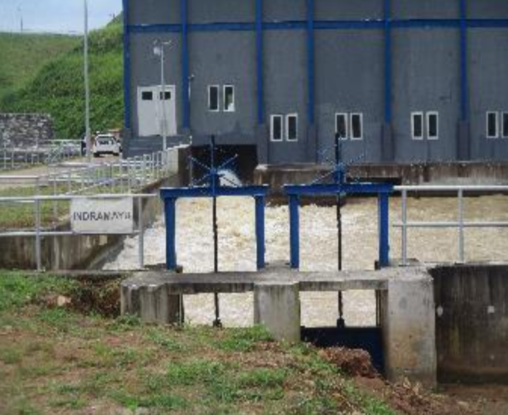
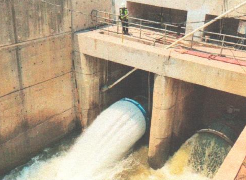
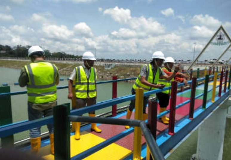
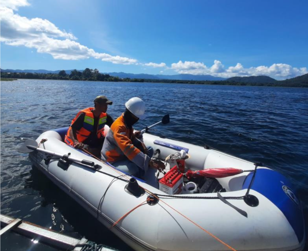
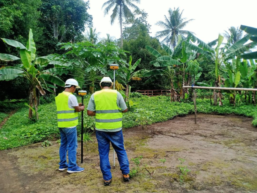
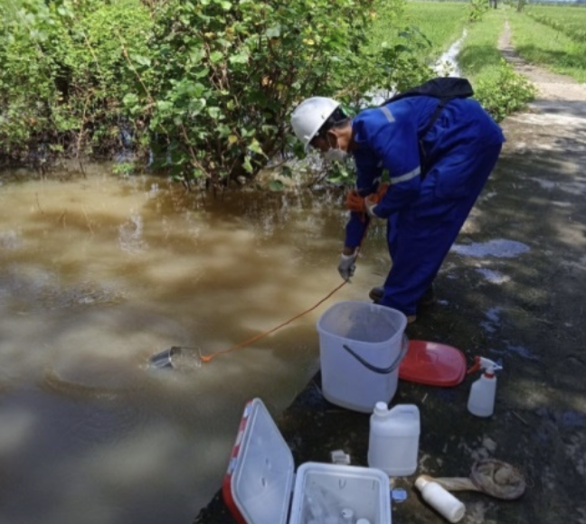
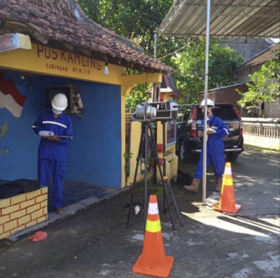
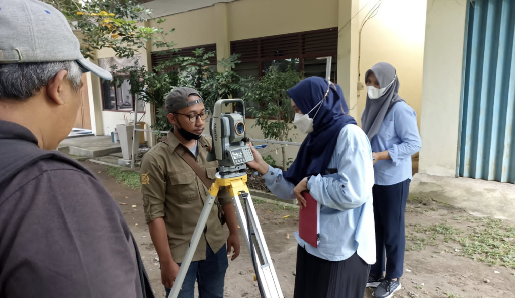
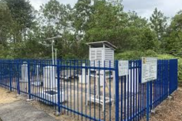
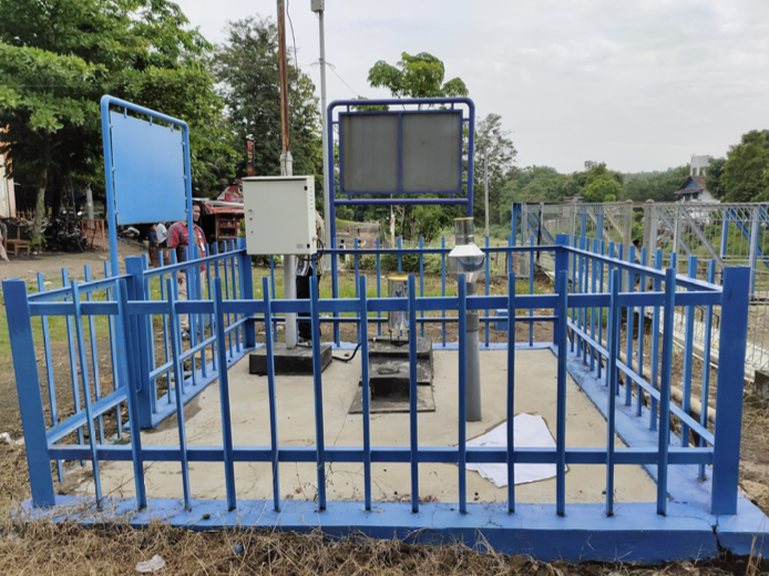
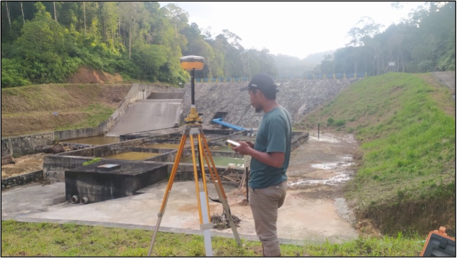
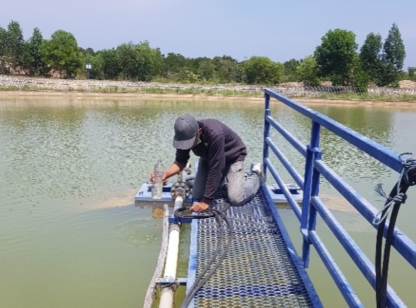
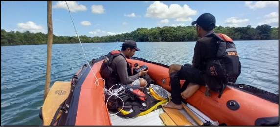
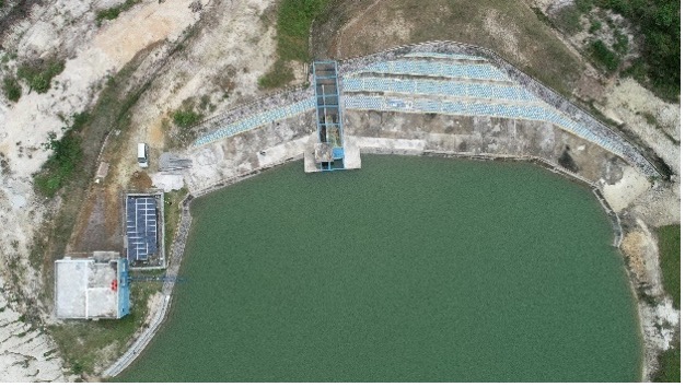
  • Comprehensive review of O&M procedures, covering dam operations, hydrological monitoring, and instrumentation.
  • Structural and mechanical inspections to confirm the reliability of spillways, gates, and monitoring devices.
  • Safety and risk assessment, focusing on potential hazards, emergency preparedness, and contingency planning.
  • Institutional and capacity assessment to strengthen the capabilities of the dam operator and related agencies.
  • Certification documentation and recommendations, serving as an official basis for operational approval and regulatory compliance.

Through this certification process, Sadawarna Dam is recognized as being managed under safe, accountable, and sustainable operational standards. The project contributes to:

  • Ensuring operational reliability of critical water infrastructure.
  • Reducing disaster risk for communities living downstream.
  • Supporting agricultural productivity and food security through stable irrigation supply.
  • Enhancing regional resilience against water scarcity and climate variability.

This certification not only validates the technical readiness of Sadawarna Dam but also strengthens the institutional framework for dam governance in Indonesia, ensuring long-term sustainability of national water resources.


Detailed Investigation Study (SID) for Raw Water Supply from Rukoh Dam, Pidie Regency – Aceh

This project involves conducting a Detailed Investigation Study (SID) to assess the potential of Rukoh Dam as a reliable raw water source for Pidie Regency, Aceh. The study is a critical step in ensuring sustainable water management, addressing domestic and regional demands for clean water, and supporting socio-economic development.

The consultancy services included:

  • Hydrological and hydraulic analysis to determine water availability and distribution capacity.
  • Topographic and geotechnical surveys to evaluate site conditions for supporting facilities.
  • Assessment of raw water demand for domestic, agricultural, and industrial needs.
  • Environmental and social impact studies to ensure sustainable and community-friendly development.
  • Preliminary design concepts and implementation planning for raw water infrastructure.

The study integrates technical, environmental, and social aspects, resulting in recommendations for effective raw water utilization. It supports long-term strategies for improving regional water security, reducing vulnerability to water scarcity, and enhancing public welfare.

Through this SID, stakeholders are provided with a strong technical foundation to move forward with the design and construction phases of raw water infrastructure from Rukoh Dam.


Review of the Emergency Action Plan (EAP) for Gondang Dam, Karanganyar – Central Java

The Gondang Dam Emergency Action Plan (EAP) Review is a crucial project to ensure the dam’s safety and operational resilience in Karanganyar Regency, Central Java. As dams are high-risk infrastructures with direct impacts on surrounding communities, this review serves as a preventive measure to strengthen disaster preparedness and minimize potential hazards.

The scope of consultancy services covered:

  • Comprehensive evaluation of the existing EAP document, ensuring alignment with updated regulations and best practices in dam safety management.

  • Hydrological and hydraulic assessment to identify potential flood scenarios in case of dam failure or extreme events.

  • Field surveys and verification of dam structures, monitoring systems, and downstream conditions.

  • Hazard and vulnerability mapping, including preparation of inundation maps for different emergency scenarios.

  • Community and stakeholder engagement, involving government institutions, emergency response teams, and local communities in disaster preparedness.

  • Formulation of recommendations to improve emergency procedures, command structures, communication protocols, and evacuation strategies.

This project emphasizes that an effective Emergency Action Plan must be both technically sound and socially inclusive. Beyond structural safety, the EAP also provides a framework for coordinated response, timely communication, and community readiness, ensuring the safety of people and assets downstream of Gondang Dam.

By conducting this review, the project contributes to Indonesia’s broader agenda of dam safety, disaster risk reduction, and climate resilience. The updated plan serves as a reference for both operators and policymakers in managing emergency risks in dam operations.


Study on the Riparian Zone of Lake Duma Galela, North Halmahera Regency

The study on Lake Duma Galela focuses on assessing and defining the riparian (buffer) zone as part of sustainable lake and watershed management in North Halmahera. This study aims to provide technical and scientific recommendations to safeguard the ecological balance of Lake Duma, protect biodiversity, and ensure the long-term availability of water resources for local communities.

The scope of the study includes:

  • Field surveys and spatial analysis to identify existing conditions around Lake Duma.
  • Hydrological and ecological assessments to evaluate the lake’s carrying capacity.
  • Determination of riparian boundaries in accordance with regulatory standards and spatial planning.
  • Socio-environmental considerations by involving local communities and stakeholders.
  • Formulation of management strategies to balance environmental protection with community needs.

The findings provide a scientific basis for local government and stakeholders in implementing integrated lake management policies. Recommendations emphasize sustainable land use, preservation of natural habitats, and mitigation of potential environmental pressures.

This study strengthens the role of scientific research in regional development and contributes to maintaining Lake Duma as a vital water resource, ecological habitat, and cultural heritage of North Halmahera.


Environmental Study and Land Acquisition and Resettlement Action Plan (LARAP) for Flood Control in Kali Langsur, Sukoharjo Regency

The Environmental Document Preparation and Land Acquisition and Resettlement Action Plan (LARAP) for Flood Control in Kali Langsur, Sukoharjo is a crucial initiative to mitigate the impact of recurrent flooding along the Langsur River, which flows through industrial and residential areas in Grogol and Sukoharjo Districts. This study was conducted as part of the readiness criteria for flood control infrastructure implementation.

The project focuses on hydrological and environmental studiesland acquisition assessments, and community engagement to ensure sustainable and socially responsible flood management solutions.

Key project components:

✔ Environmental impact assessment (EIA) and hydrological studies – Analyzing river sedimentation, flood patterns, and ecological conditions.

✔ LARAP implementation – Evaluating land acquisition, compensation schemes, and community resettlement strategies.

✔ Public consultation and stakeholder engagement – Ensuring local communities and affected parties are informed and involved in decision-making.

✔ Flood control design recommendations – Proposing river normalization, embankment strengthening, and water retention solutions.

✔ Regulatory compliance and permitting – Aligning the project with national environmental policies and obtaining necessary approvals.

This project plays a vital role in reducing flood risks, improving drainage efficiency, and ensuring climate resiliencein the region, ultimately enhancing the safety and well-being of local communities.

Status: 100% Completed – Ready for Implementation Phase


Study and Investigation for Flood Forecasting and Warning System (FFWS) at the Serayu Opak River Basin Authority (BBWS Serayu Opak)

The Flood Forecasting and Warning System (FFWS) for BBWS Serayu Opak is an advanced initiative aimed at mitigating flood risks in the Serayu Bogowonto River Basin through the development of a real-time hydrological monitoring and early warning system. This project integrates hydrological, topographical, and environmental studies to design a data-driven flood prediction system that enhances disaster preparedness and response across multiple critical locations.

The system is designed to provide accurate, real-time flood predictions using a combination of automated river monitoring stations, telemetry sensors, and meteorological data analysis. These innovations enable authorities to anticipate flood events, issue timely warnings, and coordinate emergency responses effectively.

Key project components:

✔ Real-time flood forecasting system – Utilizing hydrological modeling and telemetry data from key monitoring stations.

✔ Installation of warning systems in flood-prone areas – Enabling early alerts for communities at risk.

✔ Hydrological and hydraulic analysis – Assessing rainfall patterns, river capacity, and flood dynamics in DAS Serayu, Tipar, and Ijo.

✔ Integration with regional emergency response systems – Ensuring coordinated actions between government agencies, disaster response units, and local communities.

✔ Community engagement and training programs – Strengthening local preparedness for flood events through workshops and simulations.

✔ Development of Standard Operating Procedures (SOPs) – Establishing protocols for emergency response, risk assessment, and flood mitigation measures.

✔ Data-driven decision support system – Providing predictive analytics to assist urban planning and infrastructure resilience efforts.

This project is a vital step in improving climate resilience and disaster management, ensuring that local authorities, residents, and businesses receive timely and accurate flood warnings to minimize damage and loss. By implementing advanced forecasting models and smart flood monitoring technologies, this initiative supports sustainable water resource management and long-term flood mitigation strategies in the region.

Status: 100% Completed – Ready for Implementation Phase


Performance Optimization and O&M Manual Development for Raw Water Infrastructure in Riau Islands

Effective operation and maintenance (O&M) of raw water infrastructure are crucial for ensuring sustainable water resource management. This project focuses on updating the O&M manual for raw water facilities across 12 key locations in Riau Islands Watershed (WS Kepulauan Riau). The initiative, conducted by Balai Wilayah Sungai Sumatera IV in collaboration with PT. Globetek Glory Konsultan KSO CV. Gumbel Engineering Consultant, aims to establish a standardized and data-driven operational framework to improve efficiency, longevity, and service quality.

The project includes hydrological analysis, infrastructure condition assessments, and technical operation planning, ensuring each facility meets regulatory standards such as Law No. 17 of 2019 on Water Resources. The manual outlines operational procedures, maintenance schedules, and emergency response strategies for reservoirs, intake structures, and distribution systems in Batam, Bintan, Karimun, Lingga, and Natuna.

By implementing a comprehensive O&M strategy, this project enhances system reliability, reduces operational risks, and ensures optimal water supply for communities and industries. The finalized manual serves as a critical guideline for long-term water infrastructure sustainability in the Riau Islands.

🔹 Status: 100% Completed – Ready for Implementation


Gongseng Dam Operation Certification and Infrastructure Overview

The Gongseng Dam was constructed to enhance water resource management, support irrigation services, and strengthen food security in Bojonegoro Regency. Additionally, the dam plays a vital role in providing raw water for the surrounding community, while also contributing to flood mitigation and renewable energy potential. With the completion of its physical construction, an Operation & Maintenance (OP) Certification is required to ensure the dam can be fully operational and utilized efficiently.

The Gongseng Dam features a rock-fill structure with a vertical core, designed for long-term stability. It provides essential functions such as supplying irrigation water for 6,191 hectares of farmland, reducing flood risks by 176.44 m³/sec, generating microhydro power with a potential of 0.70 MW, and delivering 300 liters per second of raw water for domestic and industrial needs.

From a geological perspective, the dam is built on marl rock formations, requiring careful structural evaluation to ensure long-term stability and groundwater infiltration control. Given the potential for seismic activity, foundation reinforcement using grouting techniques is necessary to maintain structural integrity and prevent water seepage along fault zones.

Efficient operation of the Gongseng Dam depends on well-maintained hydromechanical equipment, which facilitates water discharge, regulation, and overall system performance. This includes gates, valves, and spillway control mechanisms, all of which require routine inspections and preventive maintenance to ensure optimal functionality. By integrating modern engineering solutions, proactive maintenance strategies, and regulatory compliance, the Gongseng Dam is positioned as a key water infrastructure asset, supporting regional development, water conservation, and disaster mitigation efforts.

📍 Key Specifications:

  • Dam Type: Rock Fill with Vertical Core
  • Main Dam Height: 34.00 m | Saddle Dam Height: 12.00 m
  • Total Peak Length: 422.00 m
  • Reservoir Capacity: 22.43 million m³ (Effective: 14.75 million m³, Dead Storage: 7.68 million m³)
  • Inundation Area: 390.65 Ha | Water Catchment Area: 51.21 km²

Status: 100% Completed – OP Certification in Progress


Actual Needs for Operations and Maintenance (AKNOP) for Citarum River Flood Management

Performance evaluation is a continuous process conducted by the Operation & Maintenance (OP) Implementing Unitto assess the effectiveness, efficiency, and quality of river infrastructure management. This evaluation ensures accountability in budget utilization, improves service effectiveness, and measures community satisfaction. Conducted at the end of the inventory survey period, the evaluation involves verifying data and comparing it with standardized performance benchmarks. The assessment process determines whether the river infrastructure requires preventive, corrective, or rehabilitative maintenance, ensuring optimal operation and long-term sustainability.

The evaluation serves multiple functions, including ensuring the proper use of OP funds, allowing the Supervisory Directorate to monitor fund allocation, enhancing performance within the OP unit, and measuring public satisfaction with OP services. Performance assessment relies on four key factors: organizational capacity, which examines available resources; organizational productivity, which evaluates service efficiency and effectiveness; service quality, which reflects community satisfaction levels; and responsiveness, which assesses how well OP units accommodate public concerns and adapt to changing environmental conditions.

The performance evaluation process is carried out using a structured periodic reporting system that provides insights into strategic achievements, performance gaps, and improvement areas. By integrating input, process, output, and outcome indicators, this initiative ensures that OP activities align with national water resource management policieswhile maintaining high operational standards. Ultimately, this evaluation framework strengthens sustainable infrastructure management and disaster resilience, supporting reliable flood control and water distribution services.

Status: Ongoing – Continuous Performance Monitoring & Optimization


id_IDIndonesian