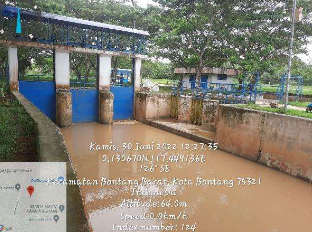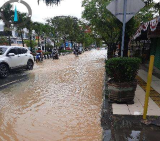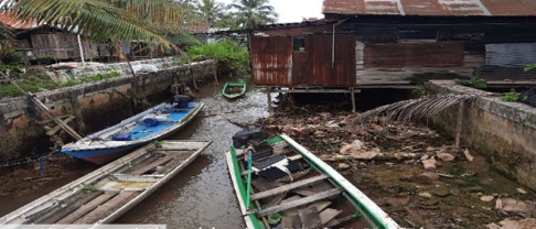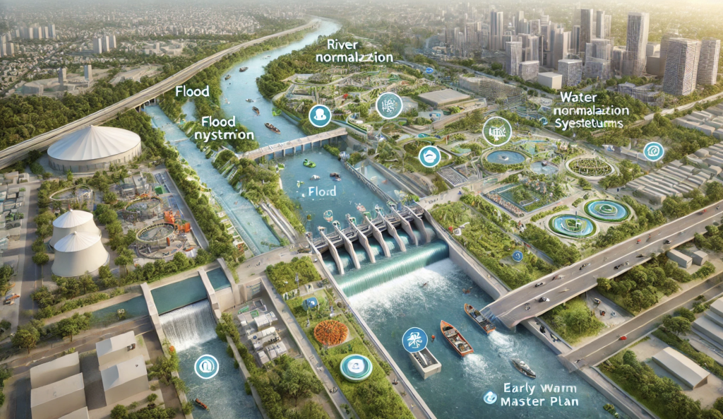
The Master Plan for Flood Mitigation in Bontang City is a strategic initiative aimed at addressing recurrent flooding issues caused by high rainfall intensity, river sedimentation, and rapid urban expansion. Located in Bontang, East Kalimantan, this project was commissioned to develop integrated flood management solutions that enhance the city’s resilience to extreme weather events.
The study incorporated advanced hydrological and hydraulic modeling, topographic mapping, and urban drainage analysis to design effective and sustainable flood control measures. The plan focuses on minimizing flood risks through structural and non-structural solutions, ensuring that Bontang’s growing population and economic sectors remain protected from potential flood hazards.
Key project components:
✔ Hydrological and hydraulic analysis – Assessing flood patterns, peak discharge rates, and river flow capacity.
✔ Topographic survey and sedimentation study – Identifying flood-prone areas and evaluating sediment transport dynamics.
✔ Urban drainage system evaluation – Optimizing stormwater flow, improving drainage efficiency, and preventing water stagnation.
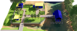
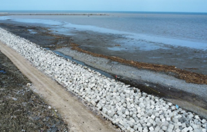
✔ Flood mitigation infrastructure planning – Proposing river normalization, retention basins, embankment reinforcements, and improved drainage networks.
✔ Climate adaptation and flood early warning system integration – Developing risk reduction strategies for better disaster preparedness.
By implementing modern flood control technologies and best management practices, this master plan serves as a blueprint for future infrastructure development, aligning with Indonesia’s national water resource management policies. The project ensures that Bontang City is well-equipped to handle future flood events, safeguarding urban areas, industrial zones, and essential public facilities.
Status: 100% Completed – Ready for Implementation Phase