Liquefaction Analysis Study for Wairoro Dam Development – Central Halmahera Regency, North Maluku

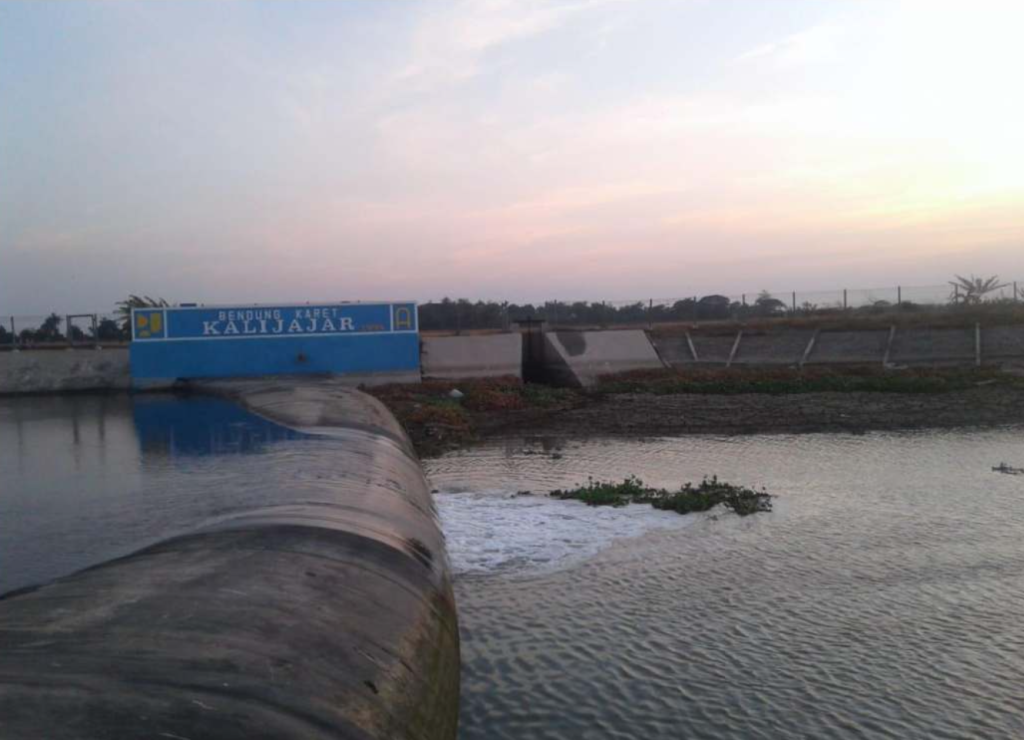
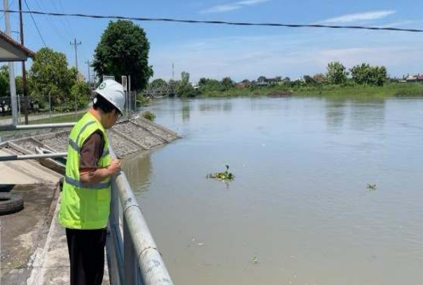
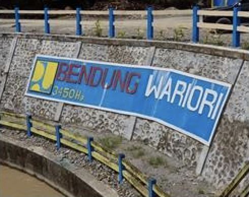
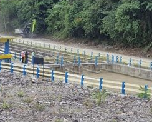
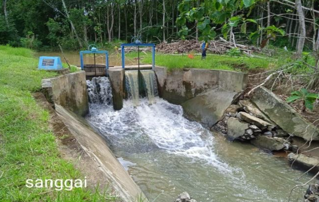
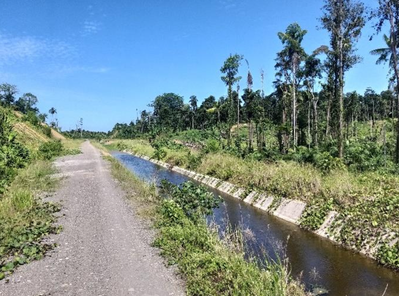
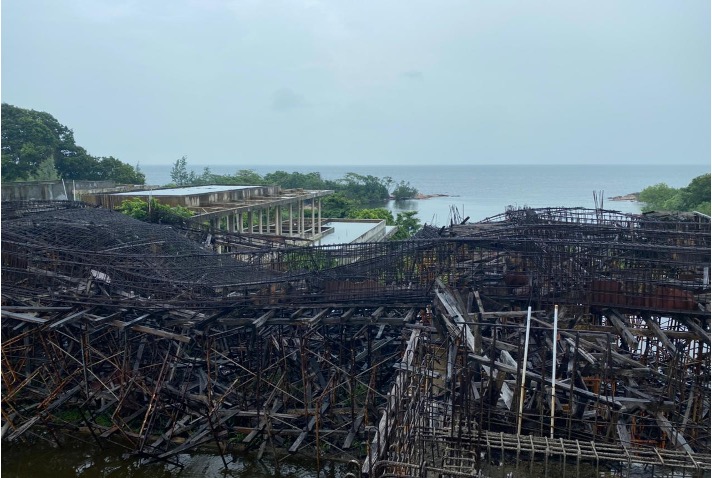
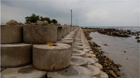
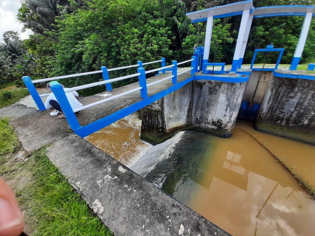
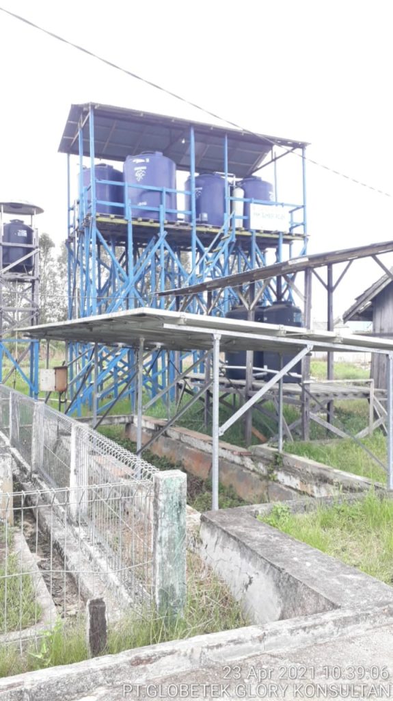
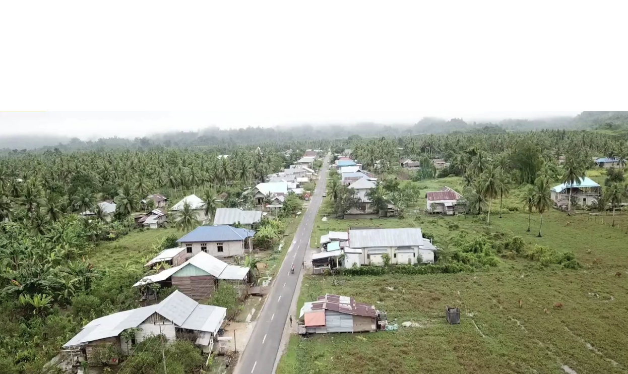
The Wairoro Dam Project is a strategic infrastructure initiative aimed at strengthening water resource management, irrigation, and flood control in Central Halmahera Regency, North Maluku. Considering the dam’s geological conditions, a Liquefaction Analysis Study was conducted to evaluate soil behavior under seismic loading and to ensure the structural safety of the dam.

The study focused on identifying zones susceptible to liquefaction, analyzing soil strength, and providing technical recommendations for dam foundation design and mitigation strategies. This ensures that the Wairoro Dam can be constructed with resilience against seismic risks and long-term operational reliability.

🔸 Scope of Work

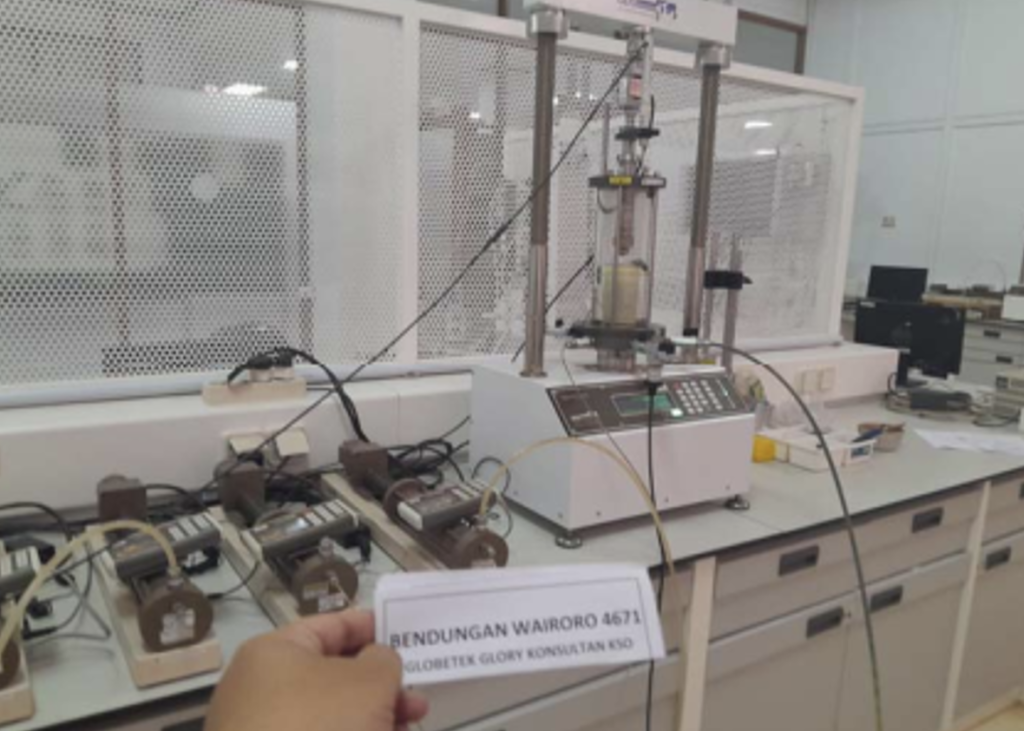
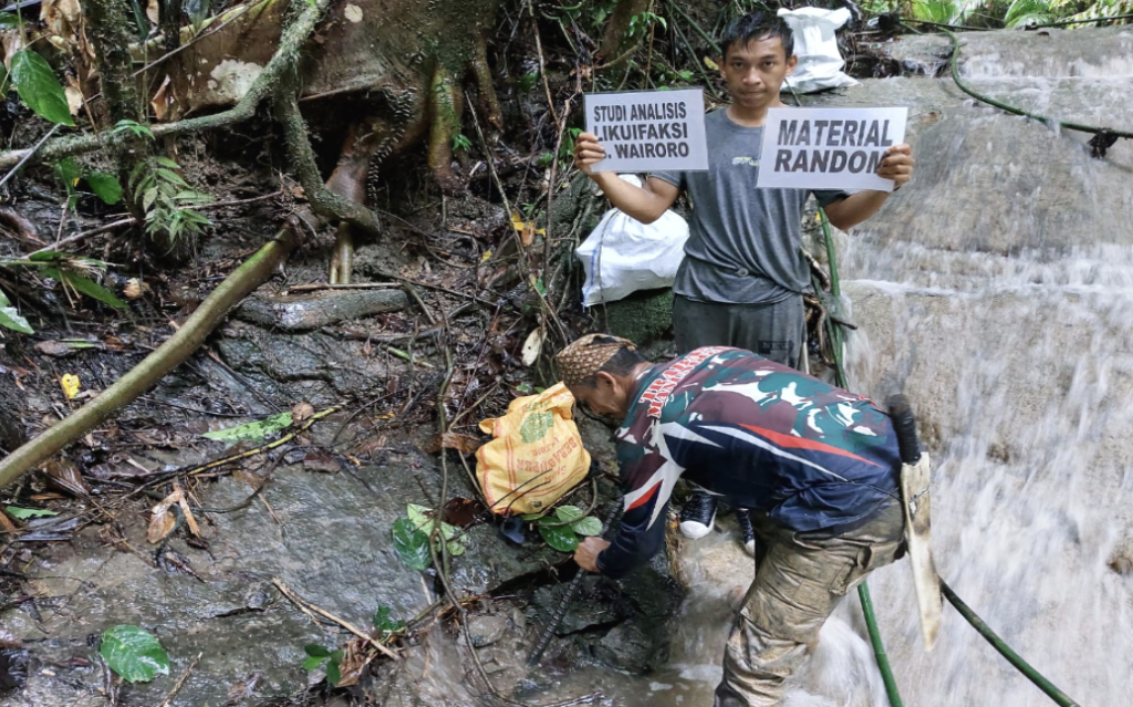
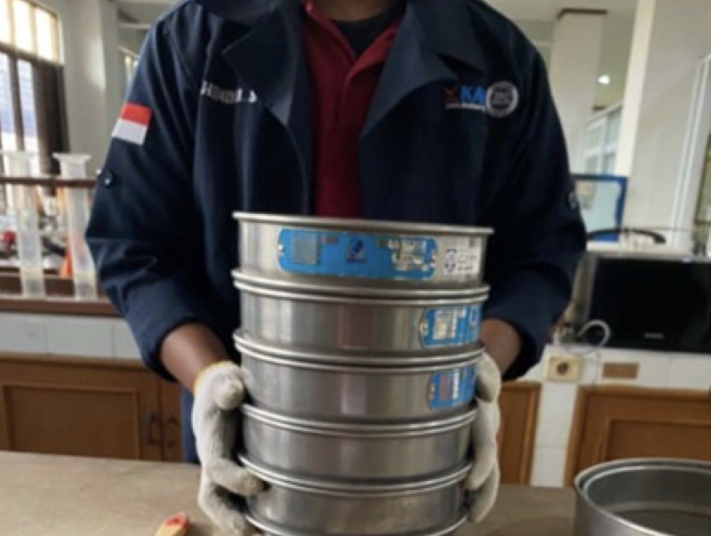
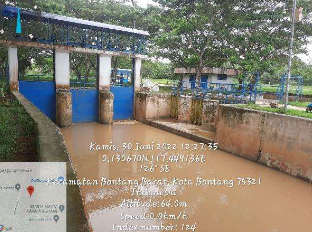
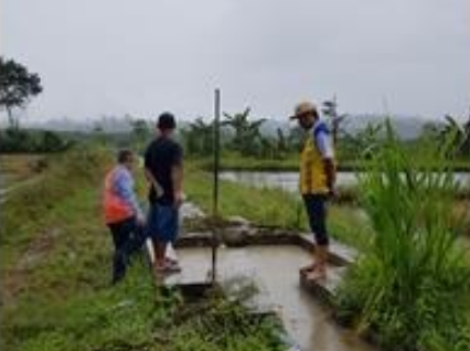
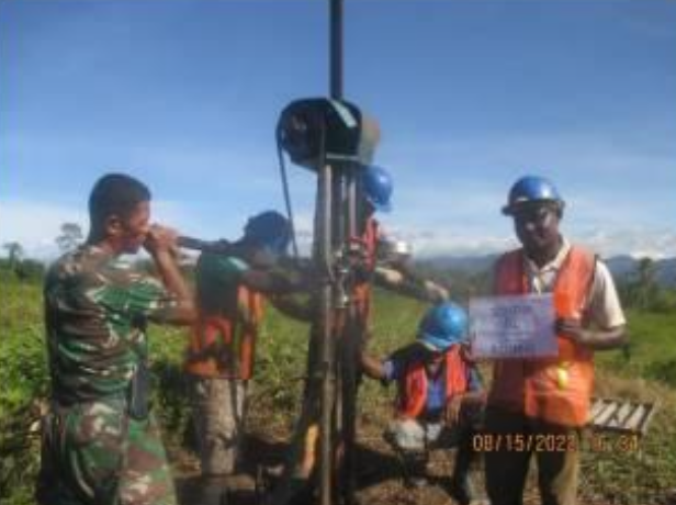
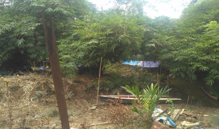
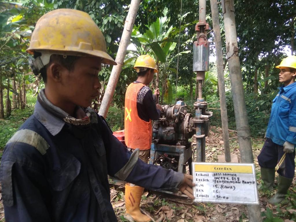
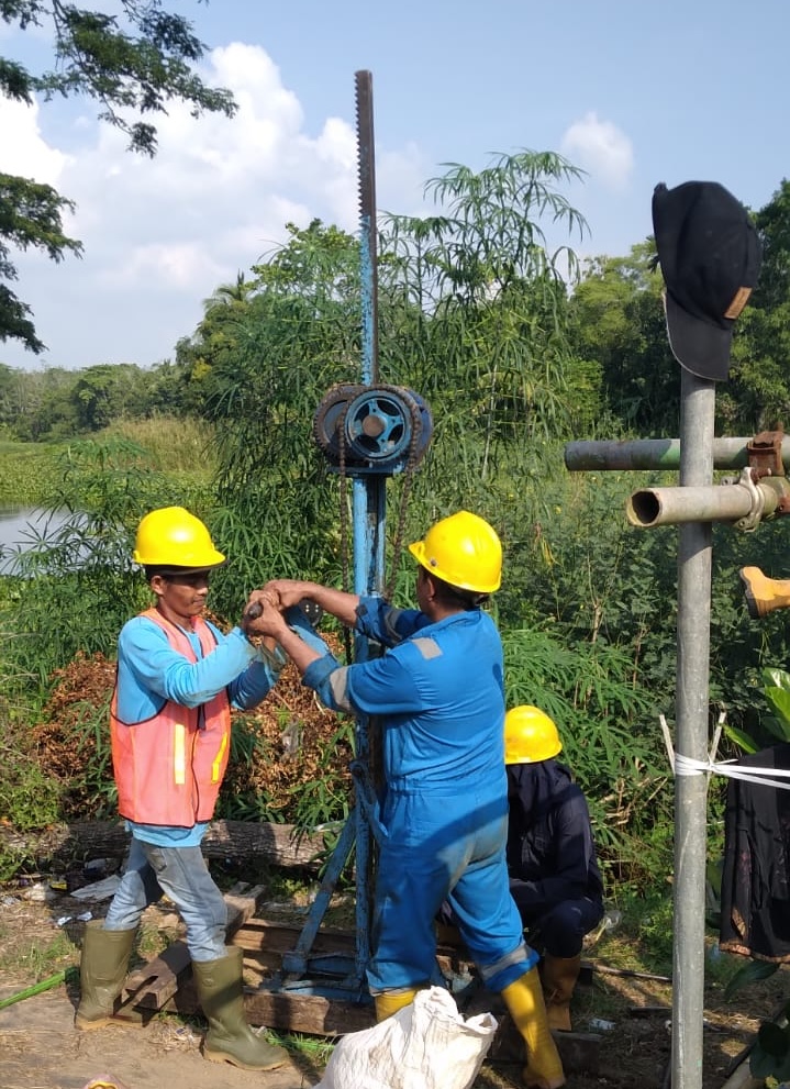
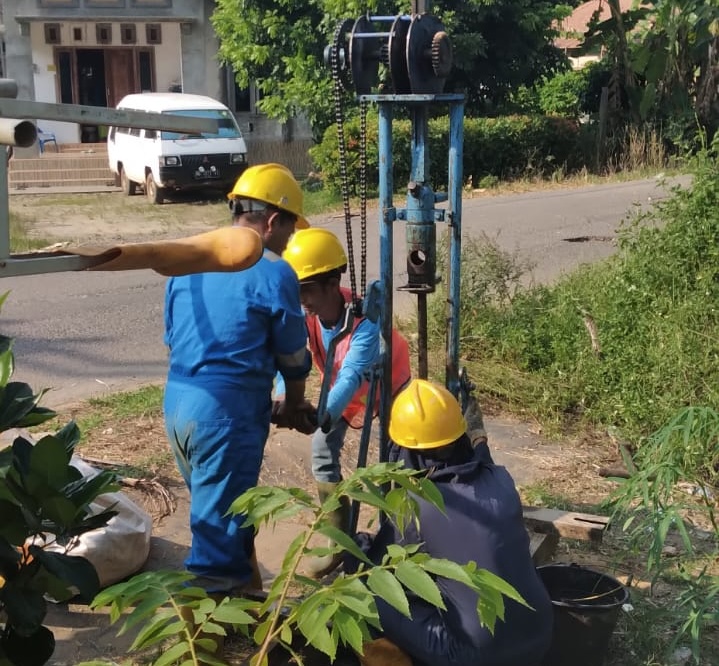
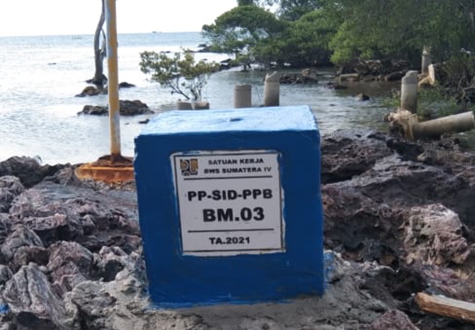
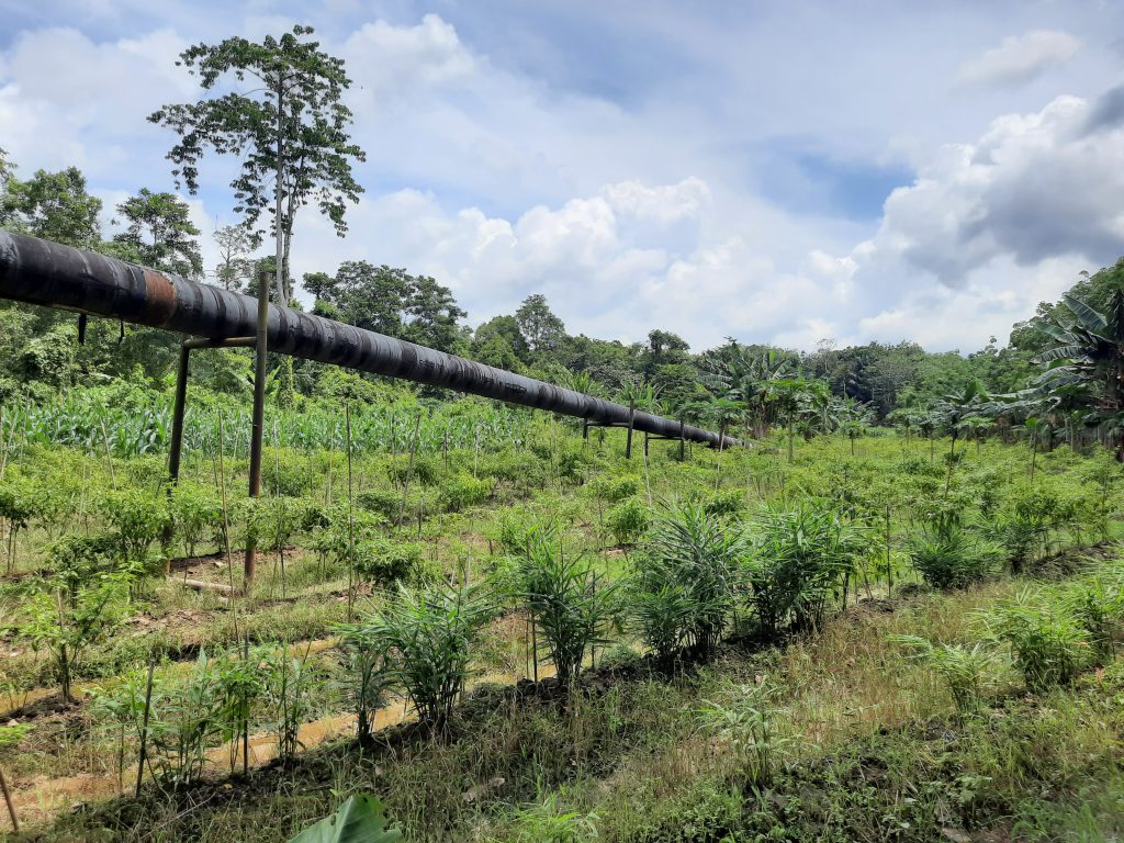
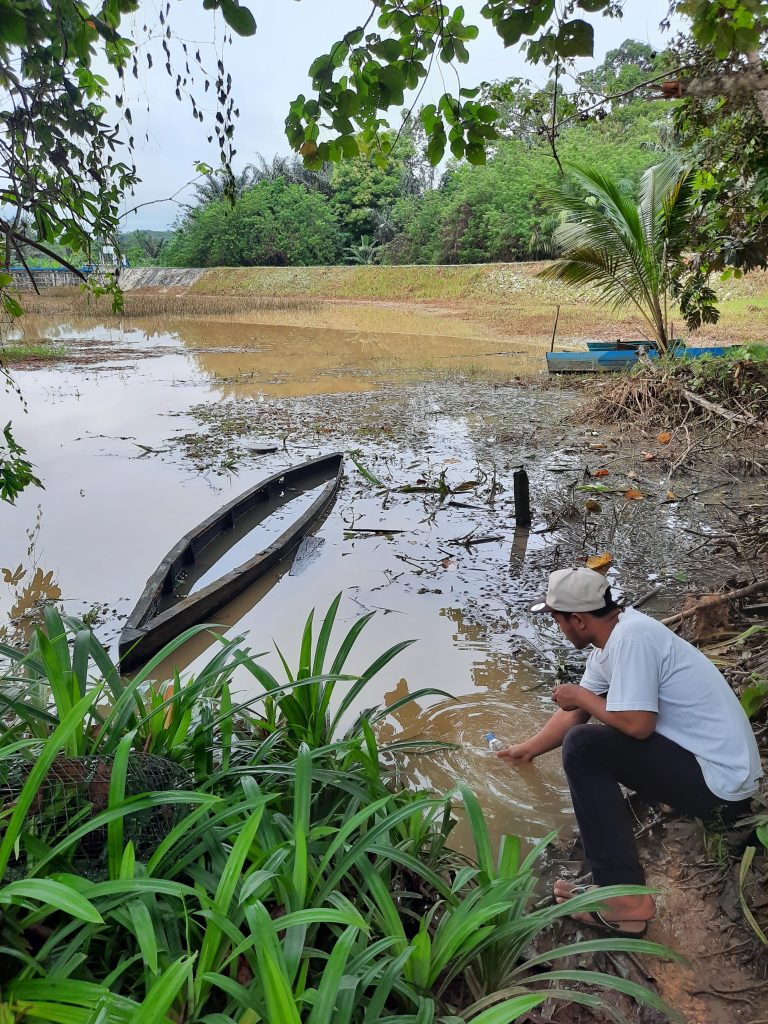
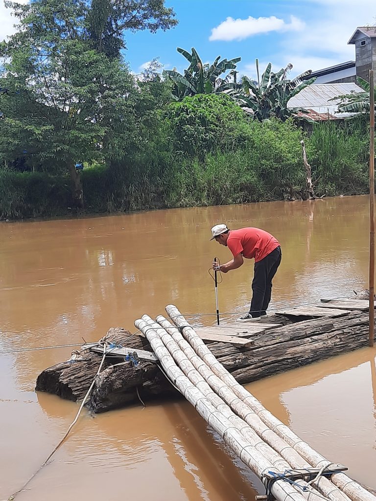
  • Conducting geological and geotechnical investigations in the dam site area.
  • Performing seismic hazard and soil liquefaction potential analysis.
  • Evaluating soil shear strength and dynamic response under earthquake scenarios.
  • Recommending ground improvement and mitigation measures to reduce liquefaction risk.
  • Integrating study results into safe and sustainable dam design parameters.

🔸 Key Benefits

  • Enhanced structural safety → ensuring Wairoro Dam withstands potential seismic events.
  • Risk mitigation → reducing the likelihood of soil failure and dam instability.
  • Scientific foundation for design → providing reliable data for engineering decisions.
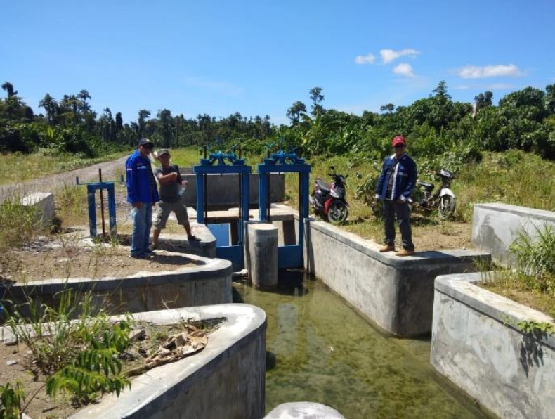
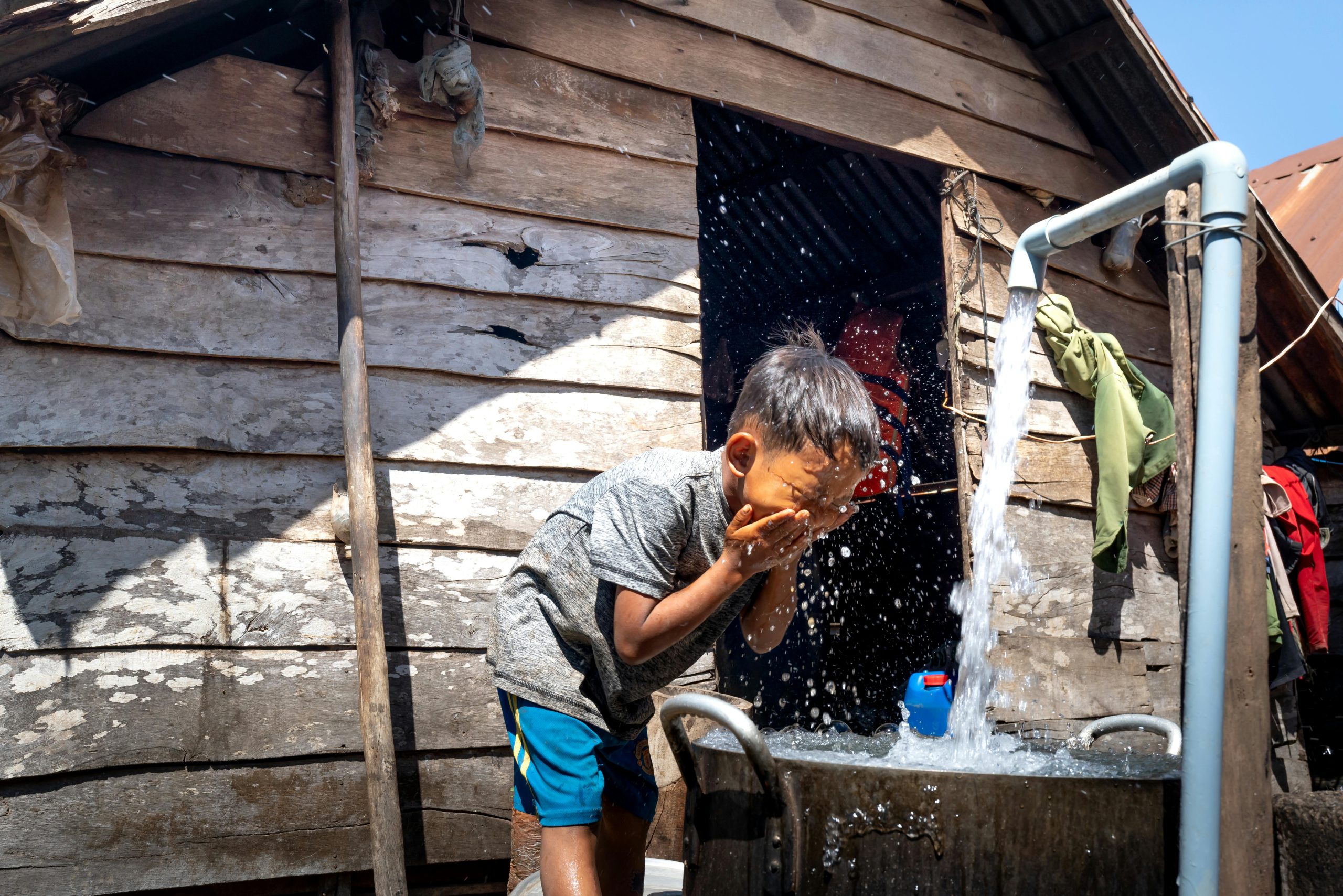
  • Sustainable water infrastructure → securing long-term benefits of irrigation, water supply, and flood protection for local communities.

This study forms a critical foundation for the safe construction and operation of Wairoro Dam, aligning engineering best practices with disaster risk reduction strategies in seismically active regions.


Detail Design for the Rehabilitation of Kali Jajar Rubber Dam, Demak Regency – Central Java

The Kali Jajar Rubber Dam Project is a Detail Engineering Design (DED) initiative aimed at developing sustainable water management infrastructure in Pekalongan City, Central Java. The project responds to the region’s growing need for reliable raw water sources, flood control, and improved irrigation efficiency.

The consultant team prepared a comprehensive design package that includes:

  • Hydrological and hydraulic analysis for water flow management.
  • Geotechnical investigations to ensure structural stability and safety.
  • Structural and architectural design of the rubber dam and its supporting facilities.
  • Environmental and social considerations to minimize impacts and enhance community benefits.
  • Cost estimation and work planning for effective implementation.

Throughout the study, multidisciplinary experts collaborated to produce a design that balances technical feasibility, economic efficiency, and environmental sustainability. The rubber dam is expected to improve water supply reliability, reduce flood risks, and support agricultural productivity in Pekalongan.

This project represents a crucial step in strengthening regional infrastructure by delivering a comprehensive, forward-looking design solution that will serve as the foundation for future construction works.


Master Plan for Flood Mitigation in Bontang City

The Master Plan for Flood Mitigation in Bontang City is a strategic initiative aimed at addressing recurrent flooding issues caused by high rainfall intensity, river sedimentation, and rapid urban expansion. Located in Bontang, East Kalimantan, this project was commissioned to develop integrated flood management solutions that enhance the city’s resilience to extreme weather events.

The study incorporated advanced hydrological and hydraulic modeling, topographic mapping, and urban drainage analysis to design effective and sustainable flood control measures. The plan focuses on minimizing flood risks through structural and non-structural solutions, ensuring that Bontang’s growing population and economic sectors remain protected from potential flood hazards.

Key project components:

✔ Hydrological and hydraulic analysis – Assessing flood patterns, peak discharge rates, and river flow capacity.

✔ Topographic survey and sedimentation study – Identifying flood-prone areas and evaluating sediment transport dynamics.

✔ Urban drainage system evaluation – Optimizing stormwater flow, improving drainage efficiency, and preventing water stagnation.

✔ Flood mitigation infrastructure planning – Proposing river normalization, retention basins, embankment reinforcements, and improved drainage networks.

✔ Climate adaptation and flood early warning system integration – Developing risk reduction strategies for better disaster preparedness.

By implementing modern flood control technologies and best management practices, this master plan serves as a blueprint for future infrastructure development, aligning with Indonesia’s national water resource management policies. The project ensures that Bontang City is well-equipped to handle future flood events, safeguarding urban areas, industrial zones, and essential public facilities.

Status: 100% Completed – Ready for Implementation Phase


Detailed Design for Drainage Channel in Wariori Irrigation Area

The Detailed Design for Drainage Channel in Wariori Irrigation Area aims to restore irrigation efficiency and optimize excess water discharge to support agricultural sustainability in Manokwari, West Papua. Covering 3,450 hectares, this project is crucial for preventing waterlogging issues, improving land productivity, and ensuring efficient irrigation runoff management.

The project includes:

✔ Hydrological and Topographical Analysis – Evaluating water flow and land contours to ensure proper drainage capacity.

✔ Drainage Network Design – Developing primary, secondary, and tertiary drainage channels to efficiently manage irrigation runoff.

✔ Sediment and Erosion Control – Implementing strategies to prevent sediment buildup and soil erosion in the drainage system.

✔ Sustainable Water Management – Ensuring long-term functionality and reducing flood risks for local farming communities.

✔ Infrastructure Optimization – Integrating modern drainage structures and maintenance strategies to support long-term resilience and sustainability.

This project not only enhances agricultural resilience and mitigates flooding risks, but also ensures that irrigation infrastructure operates efficiently to sustain food production and local livelihoods. The finalized design is aligned with national water resource management policies, ensuring compliance with technical and environmental standards.

Status: 100% Completed – Ready for Implementation


Detailed Engineering Design (DED) for Flood Control in Sepaku District

The Detailed Engineering Design (DED) for Flood Control in Sepaku District was developed to address frequent flooding issues caused by high rainfall intensity, inadequate drainage systems, and rapid land development. This project, situated in Sepaku District, North Penajam Paser Regency, East Kalimantan, plays a crucial role in supporting the new capital city development (IKN Nusantara) by enhancing climate resilience and flood mitigation strategies.

The project focuses on hydrological and hydraulic analysis, topographical and geological surveys, and designing flood control structures that align with sustainable urban development principles. Key interventions include:

✔ River Normalization – Restoring natural water flow and preventing sedimentation.

✔ Levee and Embankment Strengthening – Reinforcing flood-prone areas with revetments and retaining walls.

✔ Drainage System Improvement – Designing optimized drainage channels and stormwater management solutions.

✔ Sustainable Flood Mitigation Strategies – Implementing zoning regulations, floodplain management, and disaster risk reduction measures.

The final DED provides technical recommendations and engineering solutions to mitigate flood risks, ensuring a safer and more resilient urban environment in Sepaku District.

Status: 100% Completed – Ready for Implementation


Detailed Engineering Design (DED) for River Flood Control in Sepang Village, Pampangan District, Ogan Komering Ilir Regency

The Detailed Engineering Design (DED) for River Flood Control in Sepang Village, Pampangan District, Ogan Komering Ilir Regency aims to mitigate seasonal flooding and enhance water flow efficiency in the area. The project focuses on analyzing hydrological patterns, assessing river morphology, and designing structural flood control measures to protect residential zones and agricultural land.

Located along the Padang River, a tributary of the Komering River, the flood-prone Sepang Village faces significant water level fluctuations due to heavy rainfall and inadequate drainage capacity. The study included topographic and hydrological surveys, river flow modeling, and sediment transport analysis to formulate effective flood management solutions.

Key components of the project include:

✔ Riverbank Protection Structures – Strengthening riverbanks using revetment and embankments to prevent erosion.

✔ Drainage Improvement – Designing optimized water channels and retention basins to regulate excess runoff.

✔ Hydraulic Structures – Implementing sluice gates and flood barriers to control water levels and reduce flood risks.

✔ Sustainable Water Management Strategies – Ensuring long-term flood resilience and environmental sustainability.

The finalized DED provides detailed technical plans for implementing a robust flood control system, aligning with Indonesia’s water resource management regulations. This initiative will enhance climate resilience, safeguard local communities, and improve agricultural productivity in Sepang Village.

Status: 100% Completed – Ready for Implementation


Review of Irrigation Design for Akelamo Irrigation Area, East Halmahera

This project aims to reassess the design of the Akelamo Weir and Irrigation Network to ensure its capacity and efficiency in supporting food security and increasing farmers’ income in East Halmahera Regency, North Maluku Province. The Akelamo Irrigation Area covers 3,600 hectares of farmland, with its main water source from the Akelamo River, divided into D.I. Akelamo Kiri (800 Ha) and D.I. Akelamo Kanan (2,800 Ha).

The project is conducted by PT. Globetek Glory Konsultan under the direction of Balai Wilayah Sungai Maluku Utara, with a duration of 210 calendar days. A design review is necessary due to changes in paddy field areas, rising material costs, and the discovery of porous soil in the irrigation network, which may cause leakage. Additionally, changes in the catchment area could affect the weir’s dependable discharge, requiring further analysis.

The scope of the review includes technical investigations, hydrological surveys, sedimentation analysis, and geotechnical and soil mechanics evaluations. Furthermore, a redesign is conducted to optimize channel capacity, improve water distribution structures, and ensure the effective functioning of sediment flushing systems. With an approach based on national standards, this project is expected to enhance irrigation system efficiency, strengthen weir infrastructure, and support sustainable agriculture in East Halmahera.


Survey, Investigation, and Design (SID) for Coastal Protection in Bintan Regency

The Coastal Protection Feasibility Study in Bintan Regency aims to mitigate coastal erosion and ensure the sustainability of shorelines in Bintan Island, Malang Berdaun Island, Berakit Island, and Sentut Island. Executed by PT. Globetek Glory Konsultan under the coordination of Balai Wilayah Sungai Sumatera IV, this project is designed to construct reinforced concrete revetments that can withstand harsh coastal environments.

The study includes technical, hydrological, and geological assessments, along with the development of an optimal construction design. While the four locations are not classified as high-priority in terms of technical urgency, this project plays a strategic role in strengthening national border areas and protecting Indonesia’s outermost islands. Using K175 concrete with Portland Cement Type V, the revetments are engineered for durability, while toe protection consists of 200-300 kg rock layers for added stability.

In addition to technical aspects, the project complies with environmental regulations, as revetment structures under 1 km in length are exempt from AMDAL requirements and only require UKL-UPL documentation. Overall, this initiative is a crucial step in preserving coastal areas, safeguarding Indonesia’s maritime territories, and reinforcing the country’s outermost island defenses.


Survey, Investigation, and Design (SID) for Raw Water Supply in Babulu, Penajam Paser Utara Regency

The Feasibility Study for Raw Water Supply in Babulu (SID Penyediaan Air Baku Babulu) is an initiative by Balai Wilayah Sungai Kalimantan IV, under the Ministry of Public Works and Housing (PUPR), with PT. Globetek Glory Konsultan as the executing consultant. This project aims to develop a sustainable raw water supply system for Babulu District, the only district in Penajam Paser Utara Regency that has not yet been connected to the PDAM Danu Takawater distribution network. With a growing population, the demand for clean water continues to increase, making this study crucial in ensuring water availability up to 2041.

The project involves multiple phases, including secondary and primary data collection, topographic, hydrological, geological, and socio-economic surveys. This study also assesses the balance of water resources, considering hydrological factors, discharge capacity, storage capacity, and environmental impact. Based on the findings, strategic locations have been identified as viable raw water sources that meet technical and sustainability criteria. The proposed technical planning includes the design of water intake structures, distribution pipelines, and optimal water treatment systems. Furthermore, water demand simulations have been conducted to ensure the designed system can meet the long-term needs of the community. An economic and financial feasibility analysis has also been carried out to ensure investment efficiency and operational sustainability.

Overall, the Feasibility Study for Raw Water Supply in Babulu provides strong technical recommendations as a foundation for implementing clean water infrastructure in the Babulu District. This study serves as a strategic steptoward enhancing water security for the local community, improving public welfare, and ensuring access to a sustainable and regulation-compliant clean water supply system.


Review of Intake and Raw Water Transmission Pipeline Design in Wonosari, Bengkalis

The government, through the Sumatra River Basin Agency III, has undertaken the Review of Intake Development Design and Raw Water Transmission Pipeline project in Wonosari Village, Bengkalis Regency. As the demand for raw water continues to rise, this project aims to evaluate and redesign the intake system and transmission pipelines, ensuring a sustainable supply of clean water for the community.

Over six months, the project involved topographic, hydrological, and soil mechanics surveys, as well as technical and environmental analysis. The initial intake and pipeline designs were developed based on comprehensive studies, incorporating adjustments to enhance maintenance and operational efficiency. Additionally, the Budget Plan (RAB) and tender documents were prepared to support the construction phase.

Challenges such as delays in soil laboratory test results and limited coordination due to COVID-19 restrictions were successfully addressed through expedited technical completion and intensive stakeholder discussions. With the design review phase now complete, the project is ready to move into the construction phase, delivering a more efficient and sustainable raw water supply system.

Project Status: 100% Design Review Completed – Ready for Construction Implementation


id_IDIndonesian